Home
Images
Vectors
Videos
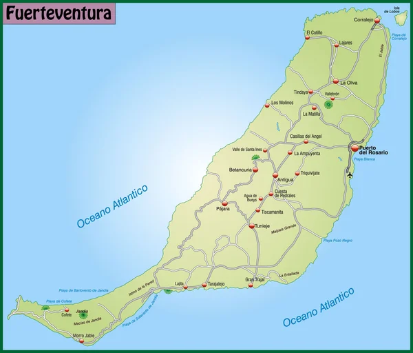
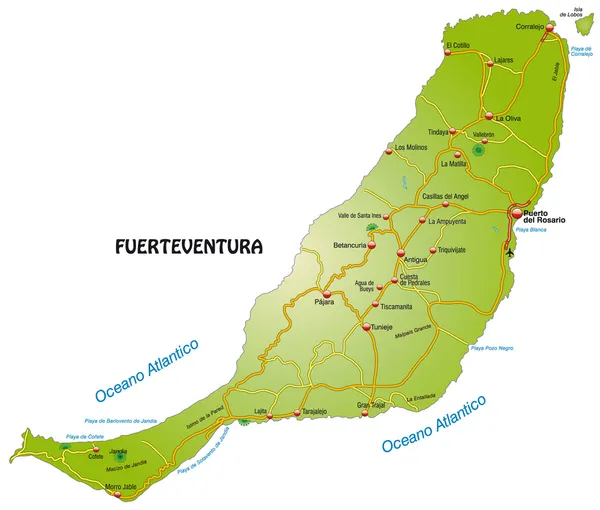
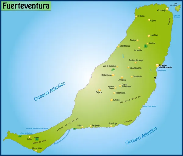
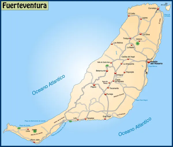
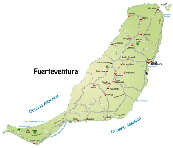
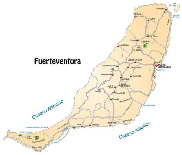
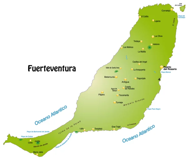
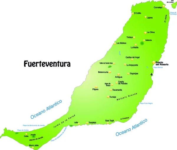
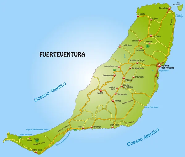
Stock vector Map of Fuerteventura with highways
Published:
Mar.21, 2012 15:52:48
Author:
artalis
Views:
2475
Downloads:
3
File type:
vector
/
eps
File size:
2.87 MB
Orginal size:
4500
x
3830
px
Available sizes:
S
(500 x 426)
M
(1000 x 851)
L
(2000 x 1702)
XL
(4500 x 3830)
VECT
(4500 x 3830)
EL0
(4500 x 3830)
Level:
bronze
Download Vector
Vector topics:
With
Information
Vacation
Map
Port
Highways
Island
Gran
Of
El
Comparison
Cities
Main
And
Autobahn
Fuerteventura
Del
Corralejo
Morro
Cotillo
Oliva
Betancuria
Costa
Antigua
Rosario
Karte
Grenzen
Spanien
VERKEHR
Netzwerk
Jandia
Geographie
Calma
Strassen
Kanarische
Jable
Pajara
Inseln
Tourism Tourist
Tarajal
Autobahnen
Tarajalejo
Pfade
Similar stock vectors
Map Of Fuerteventura With Highways And Main Cities
4500 × 3840
Map Of Fuerteventura With Highways
4500 × 3830
Map Of Fuerteventura
4500 × 3840
Map Of Fuerteventura
4500 × 3840
Map Of Fuerteventura With Highways
4500 × 3840
Map Of Fuerteventura In Orange
4500 × 3840
Map Of Fuerteventura With Main Cities
4500 × 3840
The Card Is Modern And Contains All Important Topographical Information ... The Card Can Be Used Immediately And Is Optimized For Printing And Application In Digital Medien..der Color Mode Is Rgb.
5440 × 4616