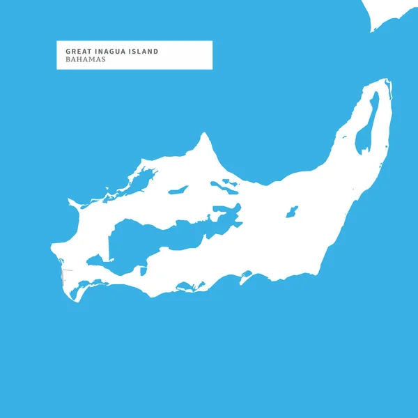
Stock vector Map of Great Inagua Island, Bahamas, contains geography outlines for land mass, water, major roads and minor roads.
Published: May.24, 2018 11:52:32
Author: mail.hebstreit.com
Views: 4
Downloads: 0
File type: vector / eps
File size: 0.35 MB
Orginal size: 8000 x 8000 px
Available sizes:
Level: bronze