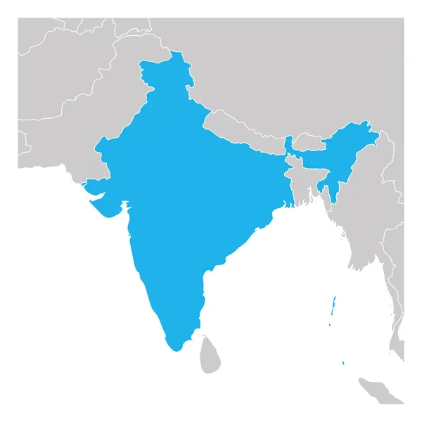
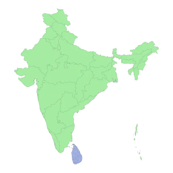
Stock vector Map of India green highlighted with neighbor countries
Published: Jun.21, 2019 06:26:45
Author: pyty
Views: 9
Downloads: 0
File type: vector / eps
File size: 1.25 MB
Orginal size: 6000 x 6000 px
Available sizes:
Level: silver