Home
Images
Vectors
Videos
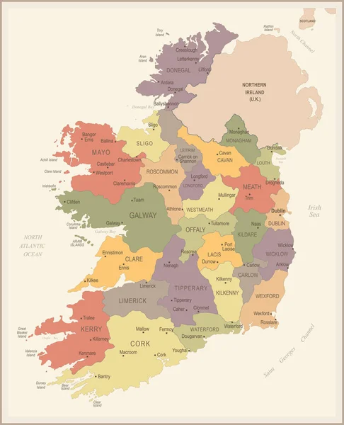
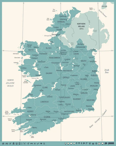
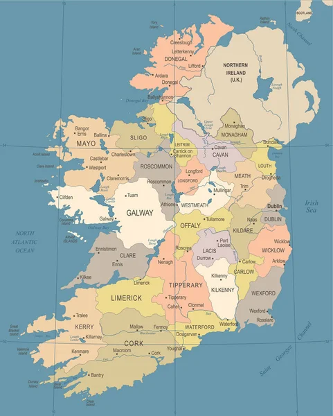
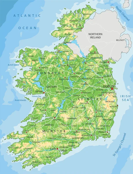
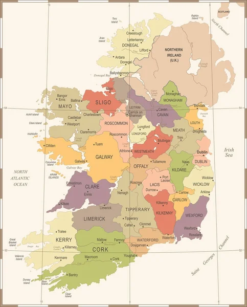
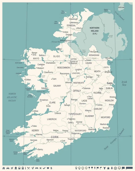
Stock vector Map of Ireland
Published:
Mar.21, 2017 12:51:41
Author:
Volina
Views:
131
Downloads:
2
File type:
vector
/
eps
File size:
9.33 MB
Orginal size:
5320
x
7021
px
Available sizes:
S
(379 x 500)
M
(758 x 1000)
L
(1515 x 2000)
XL
(5320 x 7021)
VECT
(5320 x 7021)
EL0
(5320 x 7021)
Level:
silver
Download Vector
Vector topics:
Vector
Computer
Background
Illustration
Shape
Travel
European
Border
City
World
Capital
Europe
Globe
Outline
Country
Map
Cartography
Geography
Ireland
Topography
Island
Administrative
Region
Division
English
Province
Irish
Western Europe
North Atlantic
Irish Sea
Celtic Sea
British Isles
North Channel
Sovereign State
St Georges Channel
Similar stock vectors
Ireland - Vintage Map And Flag - Detailed Vector Illustration
5500 × 6787
Ireland Map - Vintage Detailed Vector Illustration
5500 × 6932
Ireland Map - Vintage Detailed Vector Illustration
5500 × 6852
High Detailed Ireland Physical Map With Labeling.
4353 × 5672
Ireland Map - Vintage Detailed Vector Illustration
5500 × 6825
Ireland - Highly Detailed Editable Political Map.
4353 × 5672
Ireland Map - Vintage Detailed Vector Illustration
5500 × 6932