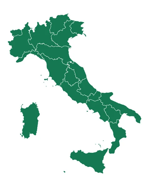
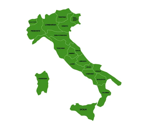
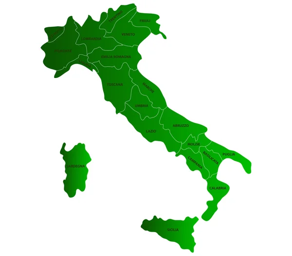
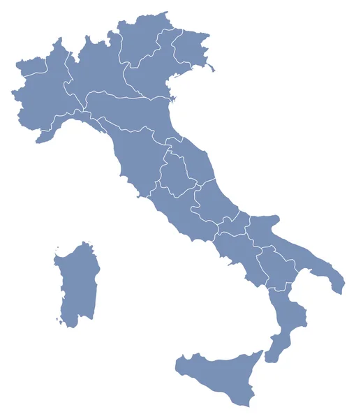
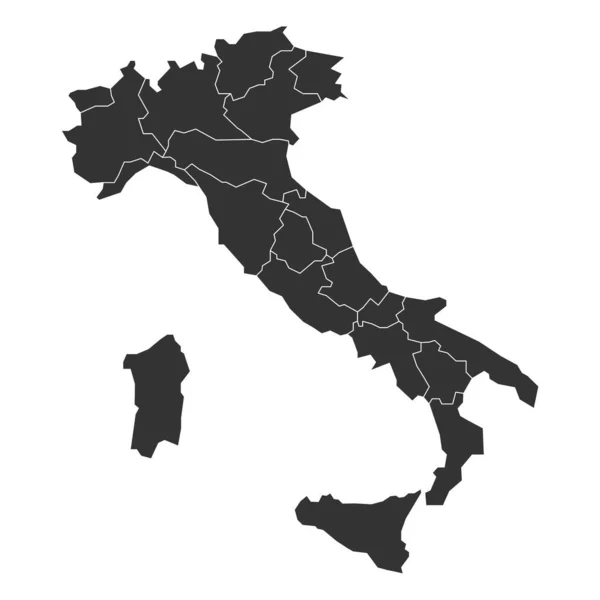
Stock vector Map of Italy divided into 20 administrative regions. Green land, white borders and white labels. Simple flat vector illustration

Published: May.23, 2017 13:45:27
Author: pyty
Views: 83
Downloads: 0
File type: vector / eps
File size: 0.64 MB
Orginal size: 6000 x 6000 px
Available sizes:
Level: silver