Home
Images
Vectors
Videos
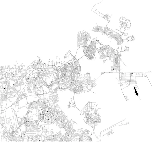
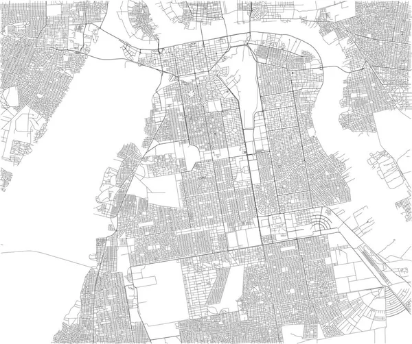
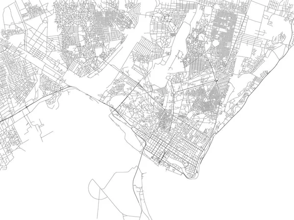
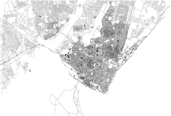
Stock vector Map of Khartoum, satellite view, city, Sudan. Streets. Africa
Published:
Sep.24, 2018 06:21:45
Author:
vampy1
Views:
25
Downloads:
0
File type:
vector
/
eps
File size:
5.35 MB
Orginal size:
5512
x
4615
px
Available sizes:
S
(500 x 419)
M
(1000 x 837)
L
(2000 x 1675)
XL
(5512 x 4615)
VECT
(5512 x 4615)
EL0
(5512 x 4615)
Level:
silver
Download Vector
Vector topics:
White
Vector
Background
Circle
Illustration
Design
Isolated
Shape
Travel
Abstract
Silhouette
Border
African
Symbol
City
Contour
Simple
Education
World
Town
Capital
North
Globe
Outline
Country
Map
Cartography
Geography
National
Africa
Continent
Land
State
Topography
Location
International
Political
Geographic
Republic
States
Region
Streets
Territory
Atlas
Nation
Mapping
Sudan
Khartoum
Travel Map
Similar stock vectors
Streets Of Maputo, Map Of The City, Capital, Mozambique. Street. Africa
6659 × 4992
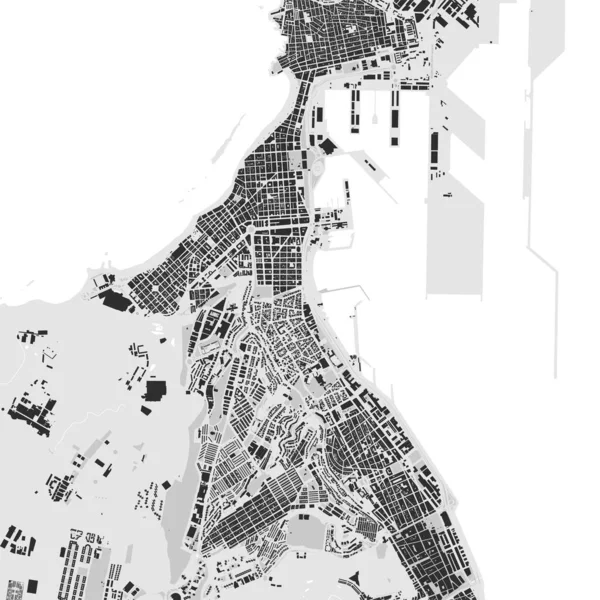
Streets Of Maputo, Map Of The City, Capital, Mozambique. Street. Africa. Unban Area And Houses
6659 × 4530
Satellite Map Of Manama, The Capital And Largest City Of Bahrain, City Streets. Street Map And Map Of The City Center.
7876 × 7366
Satellite Map Of Dubai, United Arab Emirates, City Streets. Street Map And Map Of The City Center
8268 × 7990
Satellite Map Of Krasnoyarsk, Siberia, Russia. It Is A City And The Administrative Center Of Krasnoyarsk Krai, Russia, Located On The Yenisei River. Map Of Streets And Buildings Of The Town Center. Asia
7087 × 6480
Urban City Map Of Las Palmas De Gran Canaria. Vector Illustration, Las Palmas Map Grayscale Art Poster. Street Map Image With Roads, Metropolitan City Area View.
4001 × 4001
Satellite Map Of Yangon, Myanmar, City Streets. Street Map, City Center. Asia
7476 × 7796