Home
Images
Vectors
Videos
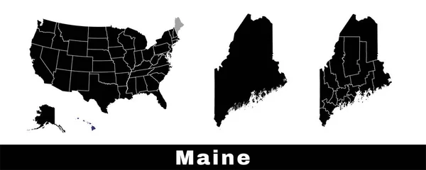
Stock vector Map of Maine state, USA. Set of Maine maps with outline border, counties and US states map. Black and white color vector illustration.
Published:
Mar.30, 2023 07:48:40
Author:
Litteralis
Views:
0
Downloads:
0
File type:
vector
/
eps
File size:
19.58 MB
Orginal size:
6503
x
2601
px
Available sizes:
S
(500 x 200)
M
(1000 x 400)
L
(2000 x 800)
XL
(6503 x 2601)
VECT
(6503 x 2601)
EL0
(6503 x 2601)
Level:
bronze
Download Vector
Vector topics:
Color
White
Vector
Background
Illustration
Set
Isolated
Shape
Black
Border
Contour
American
Us
Usa
Town
Outline
Map
National
Land
State
America
Boundary
Political
States
Official
Division
Portland
Maine
Territory
Maps
Municipal
County
Township
Municipality
Regional
Augusta
Regions
Counties
United States
New England
Vector Map
Maine Map
Map Of Maine
Down East Maine
Gulf Of Maine
Similar stock vectors
Glitch Map Of Maine State United States Of America, Alabama Outline. Blue Glowing Outline. Vector Illustration.
4960 × 4723
Flat Style Map Of State Of Maine, USA. Maine Outline. Vector Illustration
6251 × 4167
Two Versions Of The Map Of US State Maine, With The Flag Of Maine And Highlighted In Dark Grey. Vector Map.
8000 × 3388
Scribbled Shape Of The State Of Maine
3125 × 3125
Vermont State Map, USA. Set Of Vermont Maps With Outline Border, Counties And US States Map. Black And White Color Vector Illustration.
6503 × 2601
Scribbled Shape Of The State Of Maine
3125 × 3125