Home
Images
Vectors
Videos
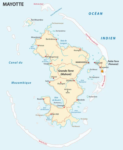
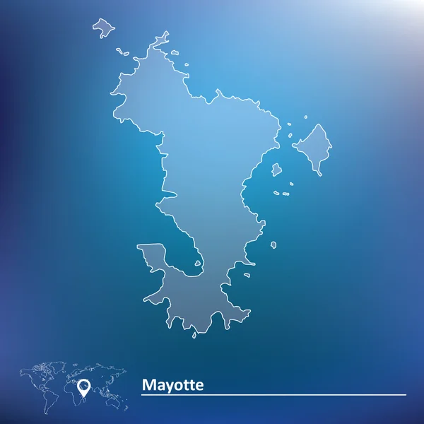
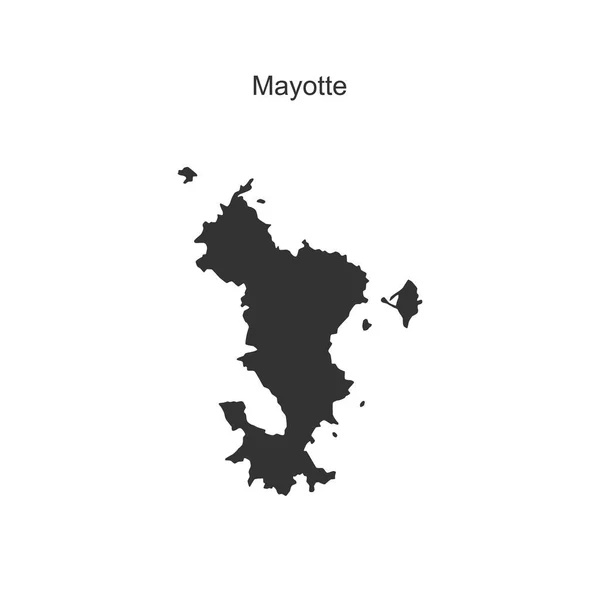
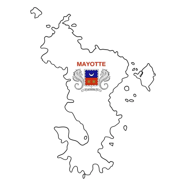
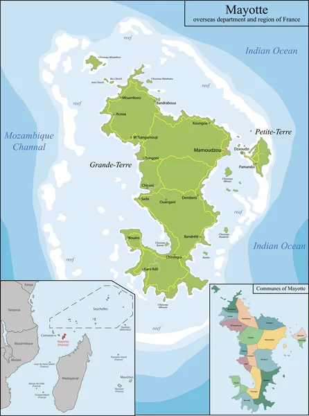
Stock vector Map of Mayotte
Published:
Mar.03, 2016 11:08:51
Author:
Volina
Views:
152
Downloads:
2
File type:
vector
/
eps
File size:
8.78 MB
Orginal size:
5221
x
7021
px
Available sizes:
S
(372 x 500)
M
(744 x 1000)
L
(1487 x 2000)
XL
(5221 x 7021)
VECT
(5221 x 7021)
EL0
(5221 x 7021)
Level:
silver
Download Vector
Vector topics:
Illustration
Travel
Detail
Maple
Silhouette
City
Contour
France
Detailed
District
Map
Geography
Location
Political
Administrative
Region
Territory
Atlas
Province
Islet
Madagascar
Archipelago
Mayotte
Politically
Indian Ocean
Geographically
Overseas Department
Mozambique Channel
Southeast Africa
Similar stock vectors
Department Of Mayotte Road Vector Map.
3100 × 3785
Department Of Mayotte Road Vector Map With Coat Of Arms.
3100 × 3785
Illustrated Country Shape Of Mayoette
4167 × 2778
Map Of Mayotte
5983 × 5983
Outline Map Of The French Island Of Mayotte. Vector Illustration.
5000 × 5000
Map Of Margarita Island
7368 × 5903
Illustrated Country Shape Of Mayoette
4167 × 2778
Mayotte Map Vector Illustration. Global Economy. Famous Country. Eastern Africa. Africa.
4000 × 4000