Home
Images
Vectors
Videos
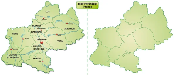
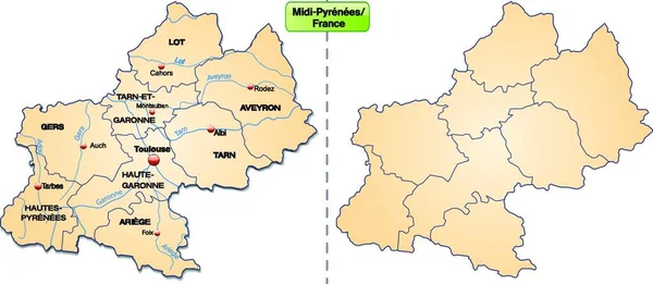
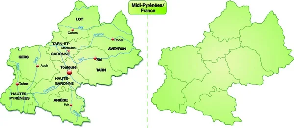
Stock vector Map of Midi-Pyrenees
Published:
Jan.22, 2014 21:00:41
Author:
artalis
Views:
93
Downloads:
0
File type:
vector
/
ai
File size:
0.82 MB
Orginal size:
6194
x
2665
px
Available sizes:
S
(500 x 215)
M
(1000 x 430)
L
(2000 x 861)
XL
(6194 x 2665)
VECT
(6194 x 2665)
EL0
(6194 x 2665)
Level:
bronze
Download Vector
Vector topics:
Green
Vector
Illustration
Design
Card
With
Information
Web
France
In
Midi
South
Country
Site
Map
Cartography
Geography
Plan
National
Overview
State
General
Chart
Borders
Boundary
Island
Of
Department
Toulouse
Pyrenees
Cahors
Also
Departments
Millau
Albi
Muret
Tarbes
Foix
Rodez
Montauban
Colomiers
Similar stock vectors
Map Of Midi-Pyrenees
6194 × 2665
Map Of Midi-Pyrenees
6194 × 2665
Map Of Midi-Pyrenees
6194 × 2664
Map Of Midi-Pyrenees
6194 × 2665
Midi-pyrenees In France As An Island Map With Borders In Pastel Orange. The Card Can Be Used Immediately For Your Project.
7416 × 3232
Map Of The World, Copy Space
7416 × 3232
Map Of Rhrone-alpes With Limits In Green
5734 × 2860
Rhone-Alpes In France As An Island Map With Borders This Map Is Particularly Suitable For Use On The Internet. The Card Can Be Used Immediately For Your Project.
6312 × 3128