Home
Images
Vectors
Videos
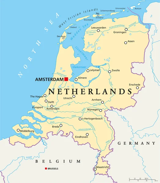
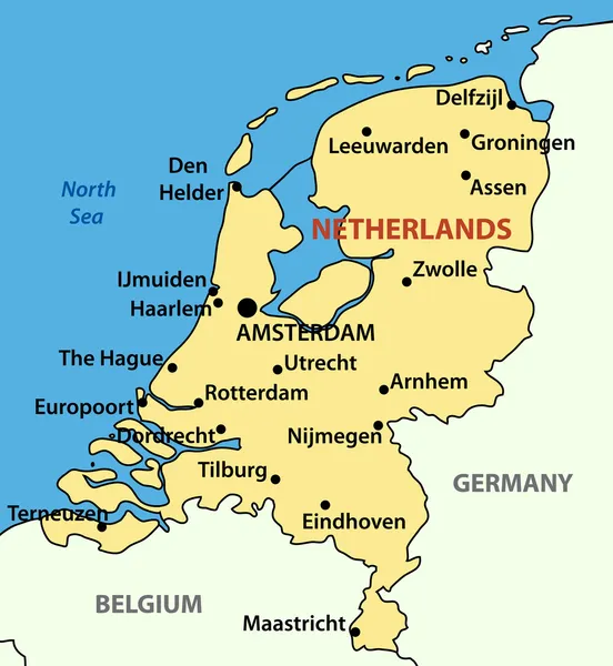
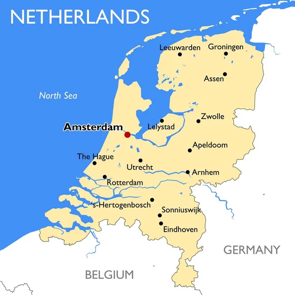
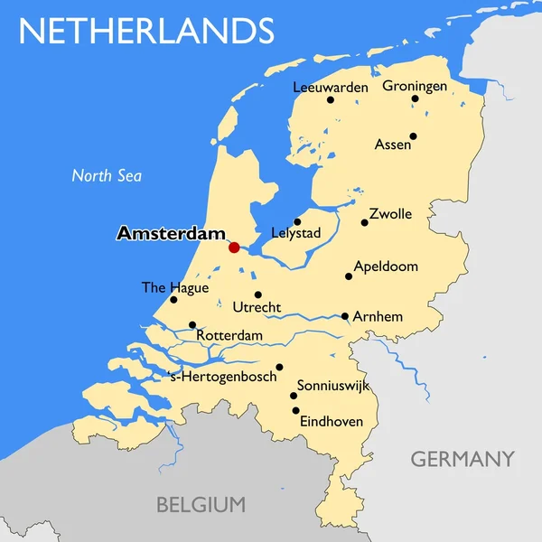
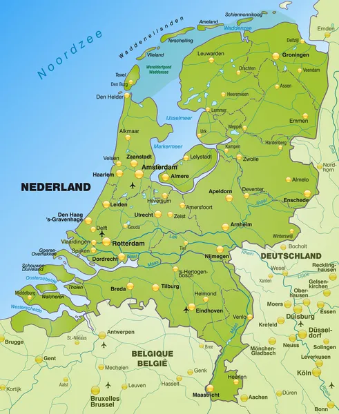
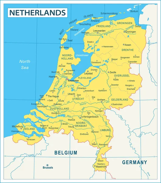
Stock vector Map of Netherlands - high details vector illustration
Published:
Jun.13, 2023 13:53:33
Author:
dikobrazik
Views:
45
Downloads:
1
File type:
vector
/
eps
File size:
7.13 MB
Orginal size:
5010
x
5668
px
Available sizes:
S
(442 x 500)
M
(884 x 1000)
L
(1768 x 2000)
XL
(5010 x 5668)
VECT
(5010 x 5668)
EL0
(5010 x 5668)
Level:
silver
Download Vector
Vector topics:
Color
Yellow
Blue
Vector
Business
Sea
Flag
City
Netherlands
Holland
Globe
Map
Geography
Land
Countries
Government
Politics
Neighbour
Dutch
Amsterdam
Rotterdam
Haarlem
Regions
Utrecht
Illustration And Painting
Capital Cities
Navigational Equipment
The Hague
Map Of Netherlands
Similar stock vectors
Netherlands Political Map
6000 × 6868
Vector Illustration - The Kingdom Of The Netherlands
3700 × 4018
Netherlands Map | Vector Detailed Color Netherlands Map
9000 × 9000
Netherlands Map
5400 × 5400
Map Of Netherlands
3620 × 4419
Benelux Single States Political Map. Region Formed By The Countries Belgium, Netherlands And Luxembourg. The Name Benelux Comes From The First Letters Of The Countries. Illustration Over White. Vector
6622 × 9000
Political Map Of Netherlands With National Borders, Cities And Rivers
4000 × 4520