Home
Images
Vectors
Videos
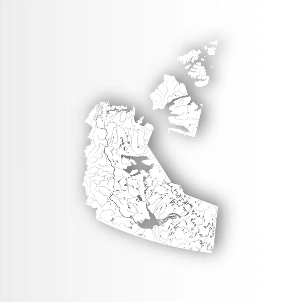
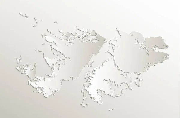
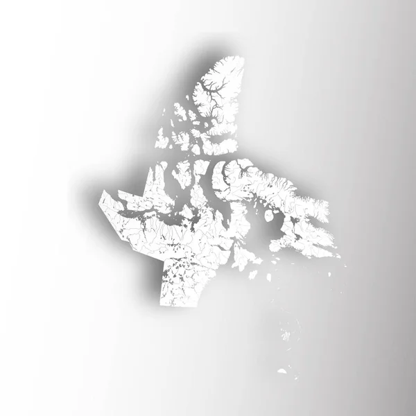
Stock vector Map of Newfoundland and Labrador with rivers and lakes.
Published:
Feb.08, 2018 11:54:30
Author:
mshch1
Views:
25
Downloads:
2
File type:
vector
/
eps
File size:
1.5 MB
Orginal size:
7000
x
7000
px
Available sizes:
S
(500 x 500)
M
(1000 x 1000)
L
(2000 x 2000)
XL
(7000 x 7000)
VECT
(7000 x 7000)
EL0
(7000 x 7000)
Level:
silver
Download Vector
Vector topics:
Vector
Backgrounds
Illustration
Design
Paper
Clipping
Sign
Travel
Cut
Silhouette
Border
Gray
River
Symbol
Effect
Shadow
Drawing
Tourism
Artwork
Outline
Map
Cartography
Geography
Lake
Canada
Provinces
Territories
Black And White
Newfoundland And Labrador
Churchill River
Hydrography
Melville Lake
Michikamau Lake
Lobstick Lake
Exploits River
Similar stock vectors
U.S. States - Map Of Massachusetts With Paper Cut Effect. Hand Made. Rivers And Lakes Are Shown. Please Look At My Other Images Of Cartographic Series - They Are All Very Detailed And Carefully Drawn By Hand WITH RIVERS AND LAKES.
7874 × 4726
Map Of Northwest Territories With Rivers And Lakes.
7000 × 7000
3d Isometric Map Of Outer Hebrides Is A Region Of Scotland, Vector Illustration
4000 × 4000
Map Of Malta
8334 × 8334
TimorLeste Map Filled With Concentric Circles Sketch Style Circles In Shape Of The Country Vector
5449 × 2753
Prince Edward Island Silhouette Map Isolated On White Background, Canada
5000 × 3500
Falkland Islands Map Card Paper 3D Natural Raster Blank
5011 × 3300
Map Of Nunavut With Rivers And Lakes.
7000 × 7000