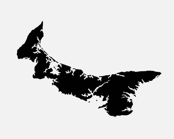
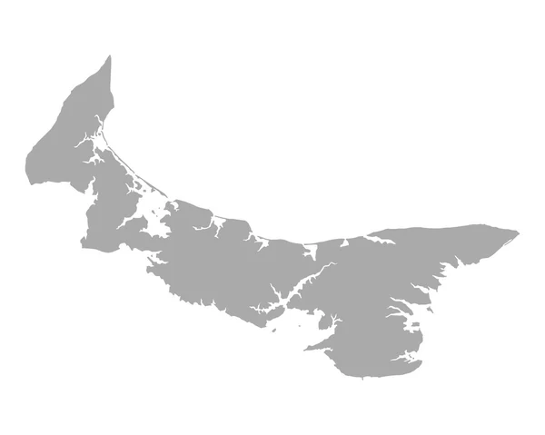
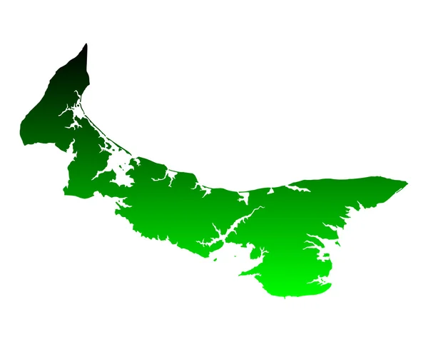
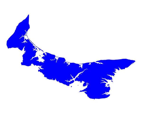
Stock vector Map of Prince Edward Island

Published: Aug.11, 2014 09:21:53
Author: rbiedermann
Views: 150
Downloads: 10
File type: vector / eps
File size: 0.11 MB
Orginal size: 5000 x 4000 px
Available sizes:
Level: silver