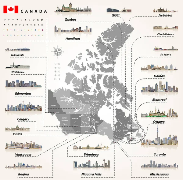
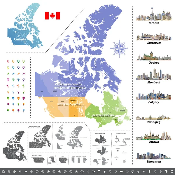
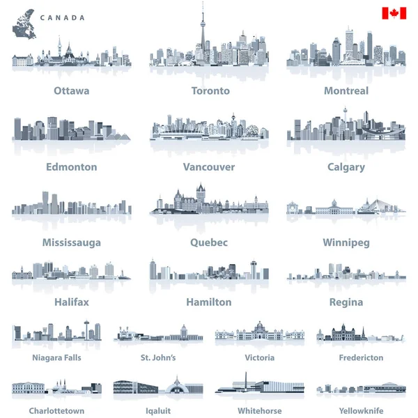
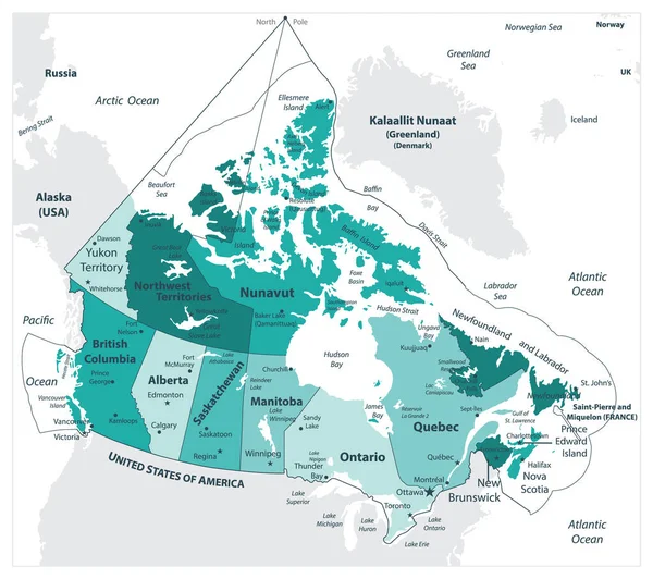
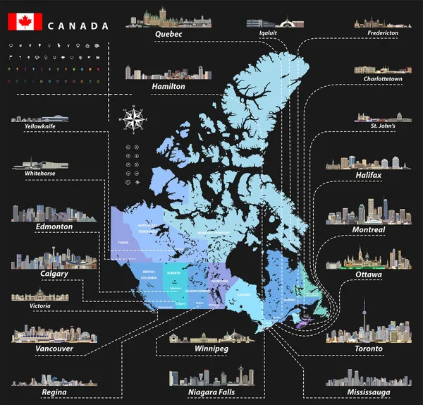
Stock vector map of provinces and territories of Canada with largest cities and all states capitals skylines
Published: Apr.10, 2017 07:55:12
Author: Jktu_21
Views: 210
Downloads: 5
File type: vector / eps
File size: 14.47 MB
Orginal size: 7293 x 6986 px
Available sizes:
Level: silver