Home
Images
Vectors
Videos
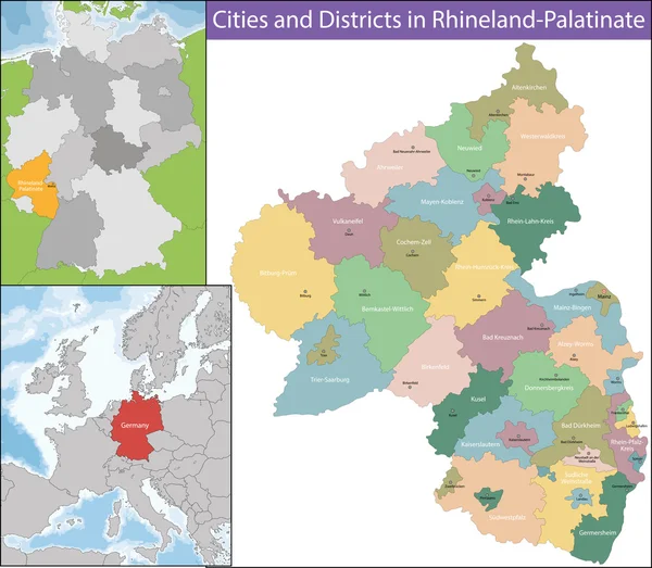
Stock vector Map of Rhineland-Palatinate
Published:
Oct.24, 2016 12:02:42
Author:
Volina
Views:
199
Downloads:
1
File type:
vector
/
eps
File size:
7.8 MB
Orginal size:
7020
x
6121
px
Available sizes:
S
(500 x 436)
M
(1000 x 872)
L
(2000 x 1744)
XL
(7020 x 6121)
VECT
(7020 x 6121)
EL0
(7020 x 6121)
Level:
silver
Download Vector
Vector topics:
Illustration
Travel
Detail
Maple
European
Silhouette
City
Contour
Detailed
Europe
District
Map
Geography
Germany
Location
Political
Administrative
Region
Territory
Atlas
Province
Worms
Germanic
Politically
Geographically
Federal States
Federal Republic
Similar stock vectors
Map Of North Rhine-Westphalia
7021 × 5721
High Quality Map Is A State Of Germany
4000 × 4000
Map Of Schleswig-Holstein
7011 × 5301
Free State Of Thuringia
5821 × 7021
Rhineland-Palatinat E Blank Outline Map Set
4482 × 4977
Drenthe Is A Province Of The Netherlands
7011 × 5611
Visualisation The Urban District And Administrative District Of Rhineland-Palatinate. Colored Background
2357 × 3014
Friesland Is A Province Of The Flevoland
5986 × 4520