Home
Images
Vectors
Videos
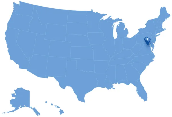
Stock vector Map of States of the United States where Federal District of Columbia, Washington, D.C. is pulled out
Published:
Nov.22, 2013 16:03:48
Author:
Istanbul2009
Views:
486
Downloads:
5
File type:
vector
/
eps
File size:
1.5 MB
Orginal size:
5666
x
3849
px
Available sizes:
S
(500 x 340)
M
(1000 x 679)
L
(2000 x 1359)
XL
(5666 x 3849)
VECT
(5666 x 3849)
EL0
(5666 x 3849)
Level:
bronze
Download Vector
Vector topics:
Border
With
Stress
Usa
Out
Capital
District
Map
Dc
State
Pulling
Pull
America
Countries
Political
Of
All
United
States
Washington
Region
The
Federal
Is
Territory
Frontier
Maps
Method
Highlighted
Americas
Where
Marked
Withdrawal
Columbia
Pulled
Territories
Ou
District Of Columbia
D C
Similar stock vectors
Map Of States Of The United States Where Connecticut Is Pulled Out
5666 × 3849
Map Of States Of The United States Where New Jersey Is Pulled Out
5666 × 3849
Map Of States Of The United States Where Delaware Is Pulled Out
5666 × 3849
Map Of States Of The United States Where Rhode Island Is Pulled Out
5666 × 3849
Map Of States Of The United States Where Vermont Is Pulled Out
5666 × 3849
Map Of States Of The United States Where Maine Is Pulled Out
5666 × 3941
Map Of States Of The United States Where New Hampshire Is Pulled Out
5666 × 3849
Map Of USA
4724 × 4724