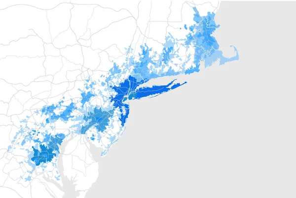
Stock vector map of the agglomeration Washington, New York City Philadelphia, Boston, Baltimore, USA
Published: Sep.25, 2017 14:18:00
Author: tish11
Views: 81
Downloads: 3
File type: vector / eps
File size: 9 MB
Orginal size: 6988 x 4696 px
Available sizes:
Level: bronze