Home
Images
Vectors
Videos
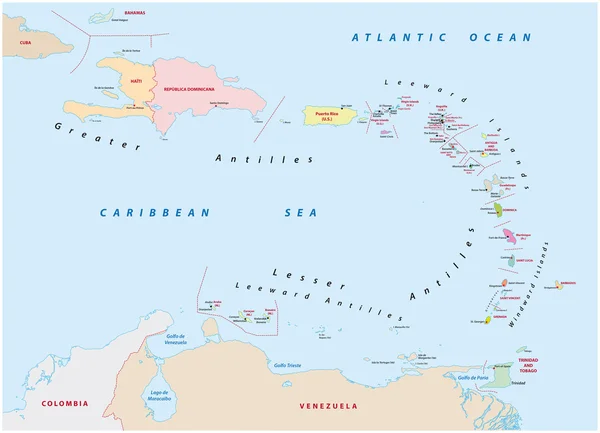
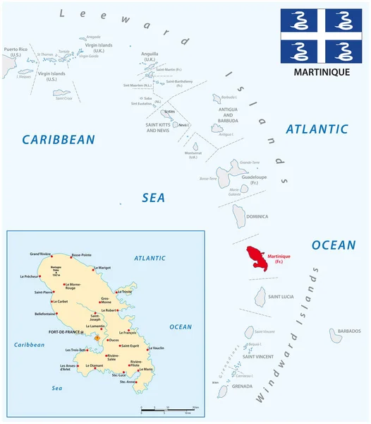
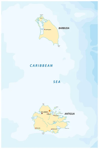
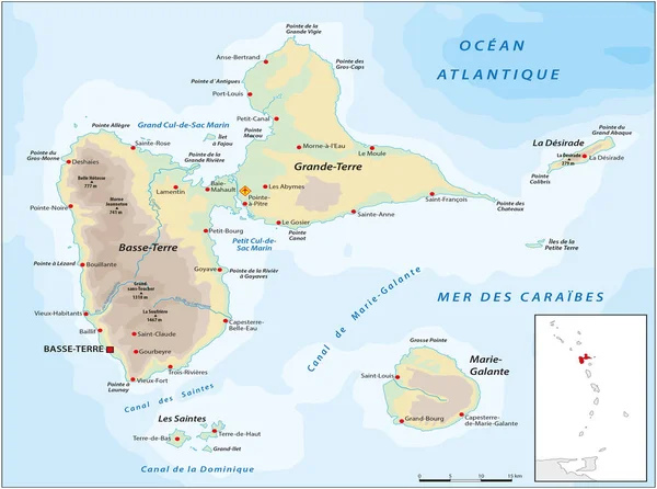
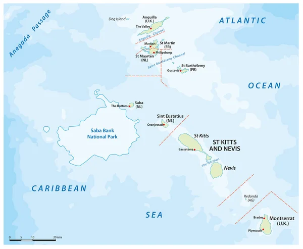
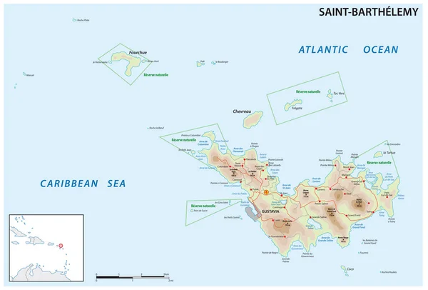
Stock vector Map of the Antilles island in the French overseas territories of Saint-Barthelemy
Published:
Mar.18, 2023 16:42:06
Author:
Lesniewski
Views:
4
Downloads:
0
File type:
vector
/
eps
File size:
2.03 MB
Orginal size:
4583
x
3100
px
Available sizes:
S
(500 x 338)
M
(1000 x 676)
L
(2000 x 1353)
XL
(4583 x 3100)
VECT
(4583 x 3100)
EL0
(4583 x 3100)
Level:
bronze
Download Vector
Vector topics:
Vector
Background
Graphic
Illustration
Design
High
Travel
Texture
Sea
Border
Road
Traffic
City
Contour
Scale
Street
France
Bay
Beach
Coastline
Town
Vacation
Outline
Hill
Country
Map
Cartography
Geography
National
Land
Lake
Tourist
State
Topography
Island
Political
Airport
Cape
Overseas
Region
Caribbean
Archipelago
Antilles
Quartier
Infographic
Caribbean Sea
Gustavia
Detailed Map
Village Town
Similar stock vectors
Map Of The States Of The Lesser Antilles
6772 × 4893
Vector Map Of The Lesser Antilles With The Martinique Archipelago
3100 × 3532
Antigua And Barbuda Map
3100 × 4647
Vector Map Of French Overseas Territory Guadeloupe
4168 × 3100
Map Of The Dutch Saba Bank National Park In The Caribbean Sea
3764 × 3100
St. Vincent And The Grenadines Islands Highly Detailed Physical Map
5170 × 7500
Saint Kitts And Nevis Highly Detailed Physical Map
7195 × 7500
The Caribbean Map - Vector Illustration
6598 × 5500