Home
Images
Vectors
Videos
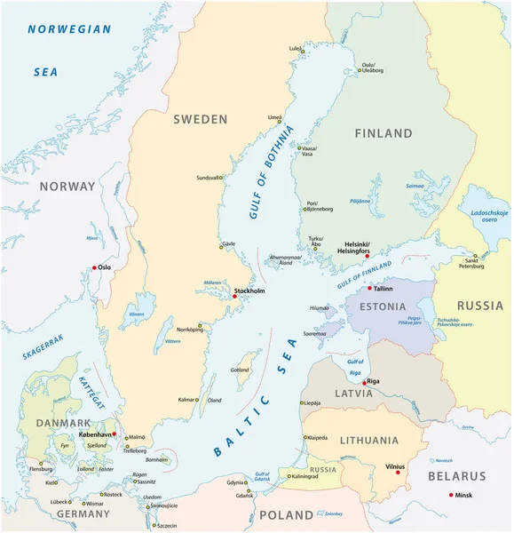
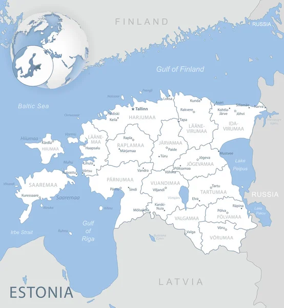
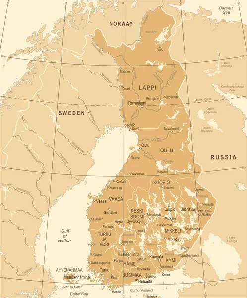
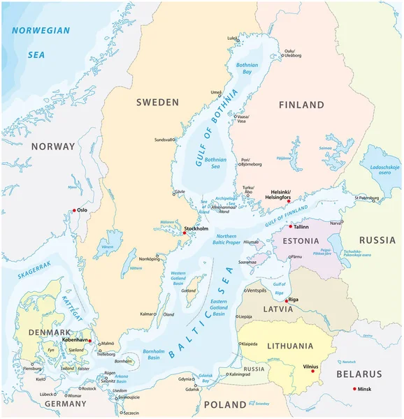
Stock vector map of the baltic sea the marginal sea of the atlantic ocean
Published:
Aug.15, 2019 12:38:42
Author:
Lesniewski
Views:
209
Downloads:
1
File type:
vector
/
eps
File size:
1.84 MB
Orginal size:
3899
x
4041
px
Available sizes:
S
(482 x 500)
M
(965 x 1000)
L
(1930 x 2000)
XL
(3899 x 4041)
VECT
(3899 x 4041)
EL0
(3899 x 4041)
Level:
bronze
Download Vector
Vector topics:
Illustration
Sea
Border
Belarus
City
Bay
Coastline
Stockholm
Sweden
North
Russia
Country
Map
Area
Germany
State
Topography
Countries
Political
Baltic
Gulf
Nations
Estonia
Tallinn
Denmark
Copenhagen
Finland
Helsinki
Islands
Poland
Latvia
Norway
Lithuania
Gotland
Riga
Kattegat
Vilnius
Regions
Aland
Saaremaa
Skagerrak
Baltic Sea
Geographical Locations
Bothnia
Hydrography
Map Europe
Baltic Proper
Similar stock vectors
Map Of The Baltic Sea The Marginal Sea Of The Atlantic Ocean
3965 × 4000
The Detailed Baltic Sea Area Vector Map.
3898 × 4038
Baltic Sea Map, Vector Illustration
7440 × 7720
Gulf Of Finland And Gulf Of Riga Region, Gray Political Map. The Nordic Countries Finland, Estonia And Latvia With Their Capitals, And The Seaway From The Baltic Sea To Saint Petersburg, Russia.
8979 × 6000
Saint Petersburg Area, Gray Political Map. Second-largest City In Russia, Formerly Known As Petrograd And Later Leningrad. Situated On The Neva River, At The Head Of Gulf Of Finland In The Baltic Sea.
9000 × 6000
Europe Physical Map. White And Gray
8192 × 5853
Blue-gray Detailed Map Of Estonia Administrative Divisions And Location On The Globe. Vector Illustration
5235 × 5661
Finland Map - Vintage Detailed Vector Illustration
5500 × 6620