Home
Images
Vectors
Videos
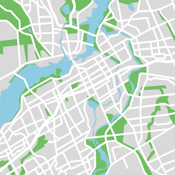
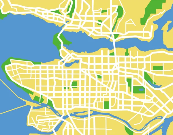
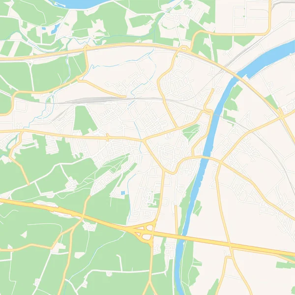
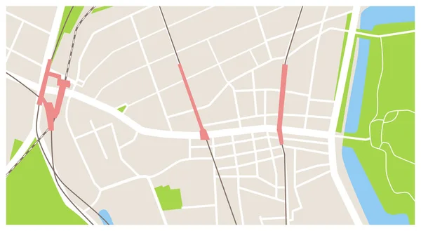
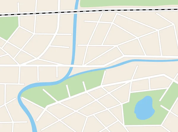
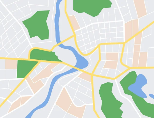
Stock vector Map of the city center. GPS map navigator concept. Vector illustration. Eps 10.
Published:
Jan.11, 2023 07:07:09
Author:
brovkoserhii
Views:
13
Downloads:
3
File type:
vector
/
eps
File size:
2.98 MB
Orginal size:
5200
x
4000
px
Available sizes:
S
(500 x 385)
M
(1000 x 769)
L
(2000 x 1538)
XL
(5200 x 4000)
VECT
(5200 x 4000)
EL0
(5200 x 4000)
Level:
beginner
Download Vector
Vector topics:
Green
Color
Blue
Vector
Background
Graphic
Illustration
Design
Beautiful
Travel
Park
Transportation
Pattern
Sea
Road
River
City
Downtown
Urban
Drawing
Pin
Street
Usa
France
Landmark
Town
Europe
Navigation
District
Map
Cartography
Geography
Plan
Area
Location
Place
America
Scheme
Vienna
Streets
Gps
Manhattan
Metropolitan
Borough
United States
Big Apple
Europe Map
Manhattan Island
Map City
Square City
Similar stock vectors
Topographic Map Of The City, Top View. Fragment Of A City Map With Streets. Vector Illustration
5000 × 5000
Vector Illustration Map Of Ottawa
4130 × 4131
Vancouver
5192 × 4057
Enns, Austria Printable Map
5376 × 5376
Detailed Map Around Tokyo Shinjuku Yotsuya Map Vector Illustration Material Color
6000 × 3294
Aerial Clean Top View Of The Night Time City Map With Street And River, Blank Urban Imagination Map, GPS Map Navigator Concept, Vector Illustration
7250 × 4833
Beige Background With Vector City Plan
5532 × 4128
City Map Navigation
5020 × 5020