Home
Images
Vectors
Videos
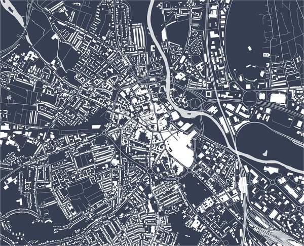
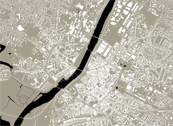
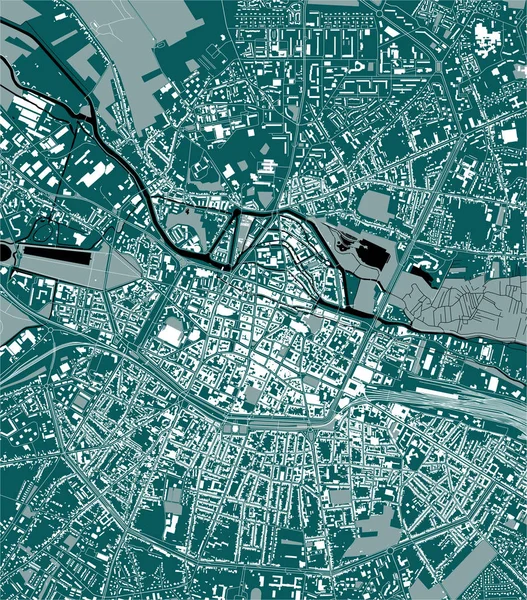
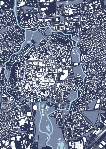
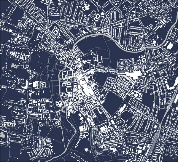
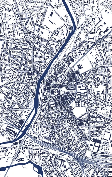
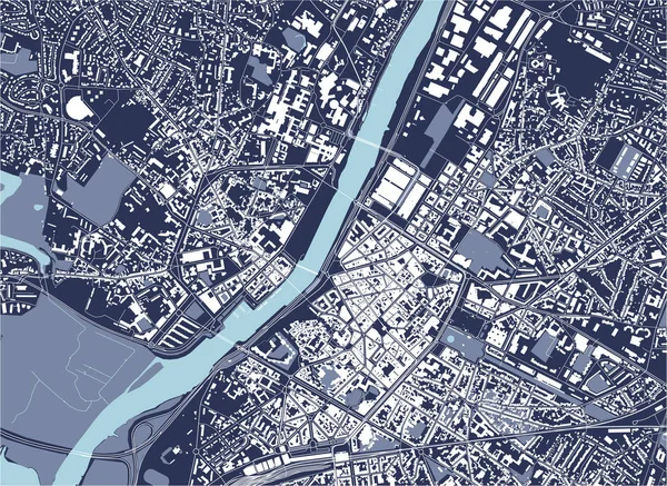
Stock vector map of the city of Angers, Maine-et-Loire, Pays de la Loire, France
Published:
Feb.14, 2020 10:20:53
Author:
tish11
Views:
2
Downloads:
0
File type:
vector
/
eps
File size:
5.28 MB
Orginal size:
5146
x
3751
px
Available sizes:
S
(500 x 364)
M
(1000 x 729)
L
(2000 x 1458)
XL
(5146 x 3751)
VECT
(5146 x 3751)
EL0
(5146 x 3751)
Level:
bronze
Download Vector
Vector topics:
White
Vector
Graphic
Illustration
Travel
Park
Road
Gray
River
Center
City
Urban
Monochrome
Scale
Simple
Drawing
Street
France
Tourism
Grid
Highway
Town
Europe
Country
Map
Cartography
Geography
Plan
Land
Quarter
Topography
Location
Place
Geographical
2020
Planing
Urbanism
Loir
2019
Maine Et Loire
Angers
Pays De La Loire
Sarthe
2021
Mayenne
La Fayette Eble
Lac De Maine
Belle Beille
Saint Serge
Similar stock vectors
Vector Map Of The City Of Derby, East Midlands, England, UK
4885 × 3959
Map Of The City Of Angers, Maine-et-Loire, Pays De La Loire, France
5146 × 3751
Map Of The City Of Amiens, Somme, Hauts-de-France, France
4167 × 4738
Map Of The City Of Ivano-Frankivsk, Ukraine
4579 × 3947
Map Of The City Of Exeter, England, UK
3959 × 4922
Map Of The City Of Braunschweig, Germany
3540 × 4975
Vector Map Of The City Of Cambridge, Cambridgeshire, East Of England, England, UK
4566 × 4169
Map Of The City Of Le Mans, Sarthe, Pays De La Loire, France
3647 × 5729