Home
Images
Vectors
Videos
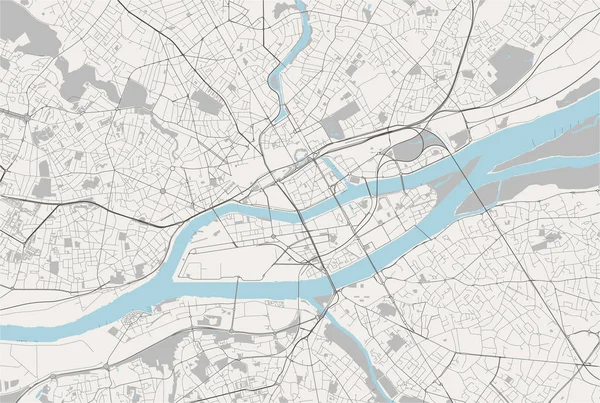
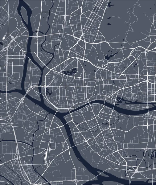
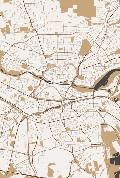
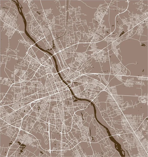
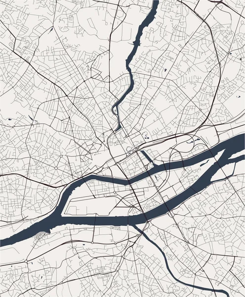
Stock vector map of the city of Nantes, France
Published:
Sep.10, 2019 09:09:50
Author:
tish11
Views:
4
Downloads:
0
File type:
vector
/
eps
File size:
4.67 MB
Orginal size:
4565
x
5519
px
Available sizes:
S
(414 x 500)
M
(827 x 1000)
L
(1654 x 2000)
XL
(4565 x 5519)
VECT
(4565 x 5519)
EL0
(4565 x 5519)
Level:
bronze
Download Vector
Vector topics:
White
Vector
Graphic
Illustration
Travel
Park
Road
Gray
River
Center
City
Urban
Monochrome
Scale
Simple
Drawing
Street
France
Tourism
Grid
Highway
Town
Europe
Country
Map
Cartography
Geography
Plan
Land
Quarter
Topography
Location
Place
Brittany
Upper
Geographical
2020
Planing
Urbanism
Loire
2019
Nantes
Loire Atlantique
Erdre
2021
Similar stock vectors
Map Of The City Of Nantes, France
6517 × 4379
Map Of The City Of Guangzhou, China
4780 × 5667
Map Of The City Of Nuremberg, Germany
4640 × 6902
Vector Map Of The City Of Warsaw, Poland
4932 × 5203
Map Of The City Of Bangkok, Thailand
6884 × 4213
Map Of The City Of Guangzhou, China
6758 × 4937
Map Of The City Of Bordeaux, France
6319 × 4673
Map Of The City Of Essen, Germany
6109 × 4471