Home
Images
Vectors
Videos
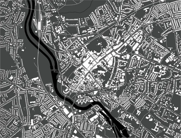
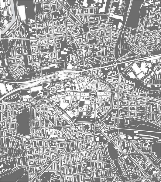
Stock vector map of the city of Rennes, Ille-et-Vilaine, Brittany, France
Published:
Jan.14, 2020 17:24:56
Author:
tish11
Views:
1
Downloads:
0
File type:
vector
/
eps
File size:
4.16 MB
Orginal size:
3751
x
5527
px
Available sizes:
S
(339 x 500)
M
(679 x 1000)
L
(1357 x 2000)
XL
(3751 x 5527)
VECT
(3751 x 5527)
EL0
(3751 x 5527)
Level:
bronze
Download Vector
Vector topics:
White
Vector
Graphic
Illustration
Travel
Park
Road
Gray
River
Center
City
Urban
Monochrome
Scale
Simple
Drawing
Street
France
Tourism
Grid
Highway
Town
Europe
Country
Map
Cartography
Geography
Plan
Land
Ill
Quarter
Topography
Location
Place
Brittany
Geographical
Rennes
2020
Saint Martin
Planing
Urbanism
2019
Ille Et Vilaine
2021
Vilaine
Sud Gare
Brequigny
Bintinais
Similar stock vectors
Map Of The City Of Of Halle, Germany
3534 × 5050
Map Of The City Of Exeter, England, UK
4918 × 3751
Vector Map Of The City Of Villeurbanne, Auvergne-Rhone-Alpes , France
4701 × 4166
Map Of The City Of Of Braunschweig, Germany
5101 × 3543
Vector Map Of The City Of Le Mans, Sarthe, Pays De La Loire, France
3647 × 5729
Vector Map Of The City Of Dortmund, Germany
3960 × 4480
Vector Map Of The City Of Preston, Lancashire, North West England, England, UK
3751 × 5084
Map Of The City Of Of Kassel, Germany
3959 × 4490