Home
Images
Vectors
Videos
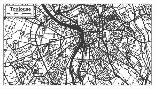
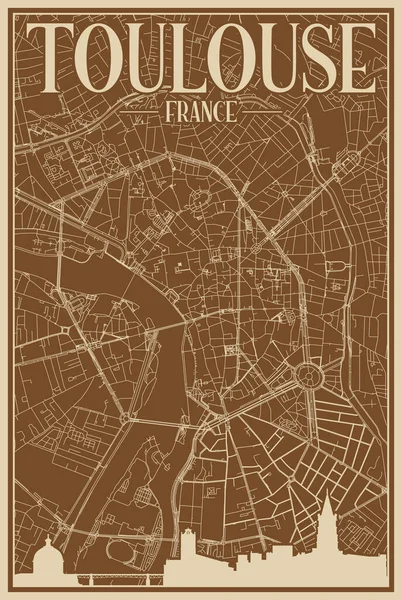
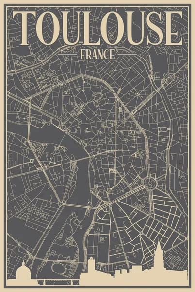
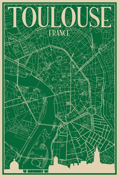
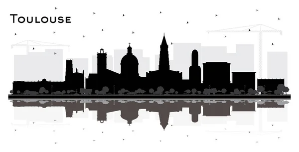
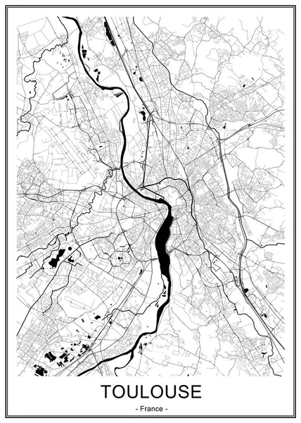
Stock vector map of the city of Toulouse, France
Published:
Sep.20, 2019 09:33:26
Author:
tish11
Views:
29
Downloads:
3
File type:
vector
/
eps
File size:
9.66 MB
Orginal size:
4751
x
6647
px
Available sizes:
S
(357 x 500)
M
(715 x 1000)
L
(1430 x 2000)
XL
(4751 x 6647)
VECT
(4751 x 6647)
EL0
(4751 x 6647)
Level:
bronze
Download Vector
Vector topics:
White
Vector
Graphic
Illustration
Travel
Park
Road
Gray
River
Center
City
Urban
Monochrome
Scale
Simple
Drawing
Street
France
Tourism
Grid
Highway
Town
Europe
Country
Map
Cartography
Geography
Plan
Land
Quarter
Topography
Location
Place
Geographical
2020
Toulouse
Planing
Urbanism
Garonne
Patte
2019
Minimes
2021
Balma
Blagnac
Tuluza
Cepiere
Doie
Similar stock vectors
Map Of The City Of Toulouse, France
4751 × 6647
Map Of The City Of Toulouse, France
4751 × 6647
Toulouse France City Map In Retro Style. Outline Map. Vector Illustration.
8150 × 4702
Brown Hand-drawn Framed Poster Of The Downtown TOULOUSE, FRANCE With Highlighted Vintage City Skyline And Lettering
4080 × 6080
Grey Hand-drawn Framed Poster Of The Downtown TOULOUSE, FRANCE With Highlighted Vintage City Skyline And Lettering
4080 × 6080
Green Hand-drawn Framed Poster Of The Downtown TOULOUSE, FRANCE With Highlighted Vintage City Skyline And Lettering
4080 × 6080
Toulouse France City Skyline Silhouette With Black Buildings And Reflections Isolated On White. Vector Illustration. Travel And Concept With Historic Architecture. Toulouse Cityscape With Landmarks.
8150 × 4151
Map Of The City Of Bordeaux, France
4868 × 6813