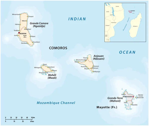
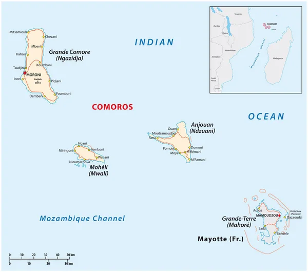
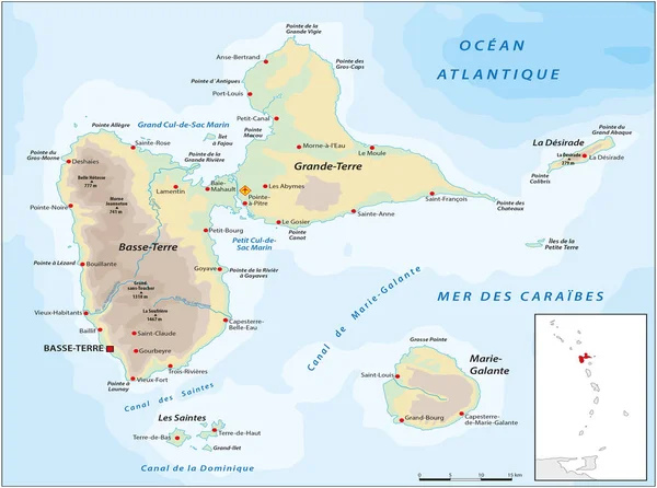
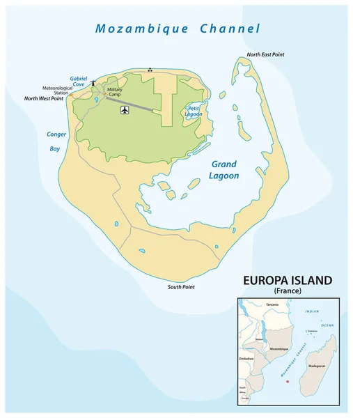
Stock vector Map of the French overseas territory of Europe Iseland between Mozambique and Madagascar
Published: Apr.09, 2020 09:18:53
Author: Lesniewski
Views: 1
Downloads: 0
File type: vector / eps
File size: 0.96 MB
Orginal size: 3100 x 3667 px
Available sizes:
Level: bronze