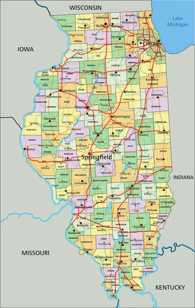
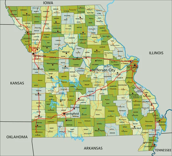
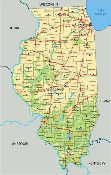
Stock vector map of the greater st. louis area in illinois and missouri usa

Published: Nov.20, 2019 11:45:06
Author: Lesniewski
Views: 47
Downloads: 2
File type: vector / eps
File size: 1.14 MB
Orginal size: 4250 x 3100 px
Available sizes:
Level: bronze