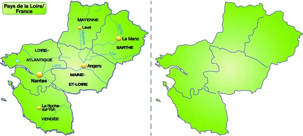
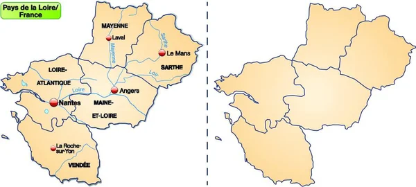
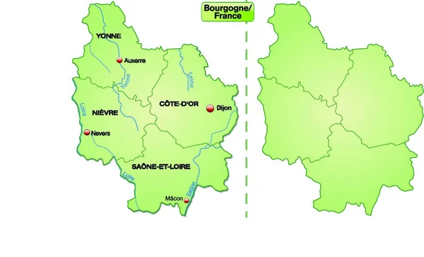
Stock vector map of the payd-de-la-loire region with departments

Published: Apr.15, 2020 13:10:02
Author: PantherMediaSeller
Views: 0
Downloads: 0
File type: vector / zip
File size: 0 MB
Orginal size: 6376 x 2856 px
Available sizes:
Level: platinum