Home
Images
Vectors
Videos
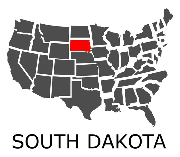
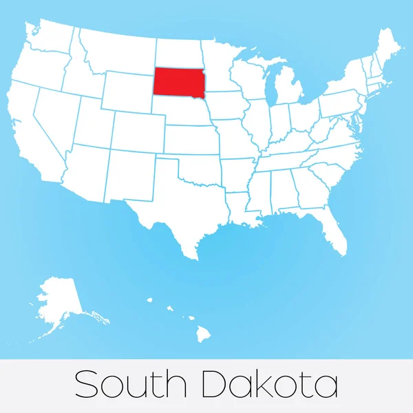
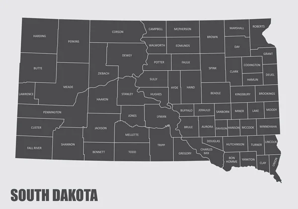
Stock vector map of the U.S. state of South Dakota
Published:
Jun.06, 2017 06:24:39
Author:
pavlentii
Views:
7
Downloads:
0
File type:
vector
/
eps
File size:
1.86 MB
Orginal size:
5000
x
5000
px
Available sizes:
S
(500 x 500)
M
(1000 x 1000)
L
(2000 x 2000)
XL
(5000 x 5000)
VECT
(5000 x 5000)
EL0
(5000 x 5000)
Level:
bronze
Download Vector
Vector topics:
Image
White
Vector
Background
Illustration
Isolated
Shape
Sign
Label
Travel
Abstract
Texture
Line
Silhouette
Border
Frame
Flag
Gray
Symbol
Concept
Icon
Mark
Contour
Earth
World
American
Us
Landmark
North
South
Outline
Country
Map
Cartography
Geography
Area
State
America
Federation
United
Region
English
Territory
Illustrator
Geographical
Dakota
Shaded
South Dakota
Similar stock vectors
Map Of The U.S. State Of North Dakota
5000 × 5000
Map Of The The United States Of America With 1 State Selected -
4444 × 3333
State Of South Dakota On Map Of USA
5400 × 4700
The Dakotas, Gray Political Map. Collective Term For The US States Of North Dakota And South Dakota, In The Upper Midwest And North Central. Used To Describe Dakota Territory And Collective Heritage.
6000 × 6608
Map Of The The United States Of America With 1 State Selected -
4444 × 3333
United States Of America Illustration With The Selected State Of
4167 × 4167
South Dakota County Map
5000 × 3500
Map Of The U.S. State Of Minnesota
5000 × 5000