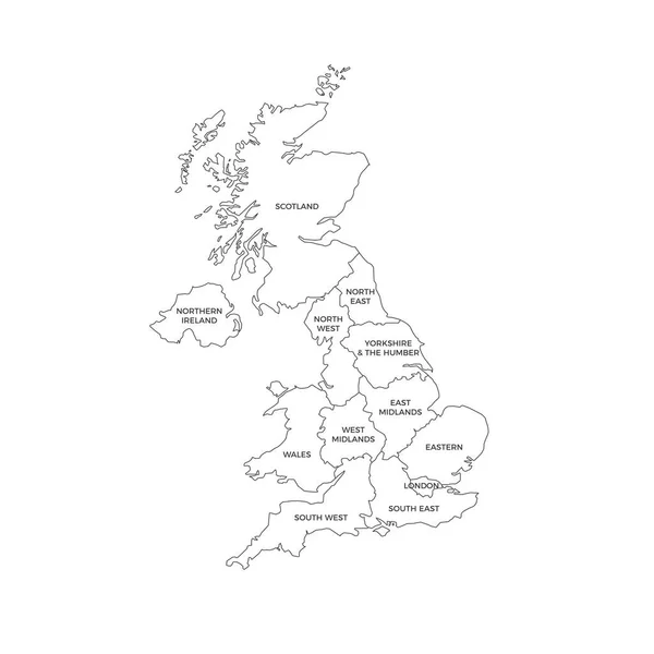
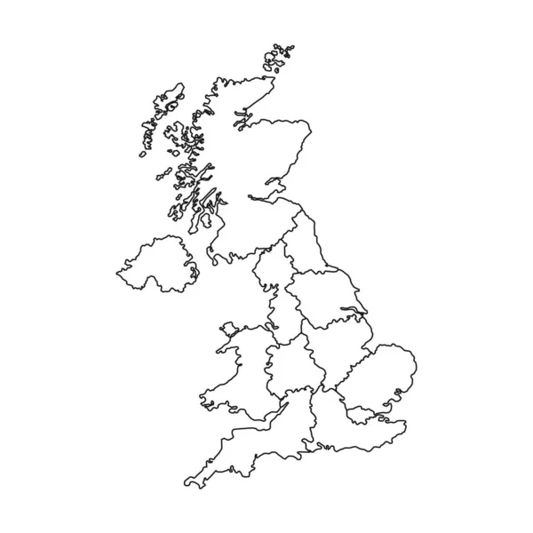
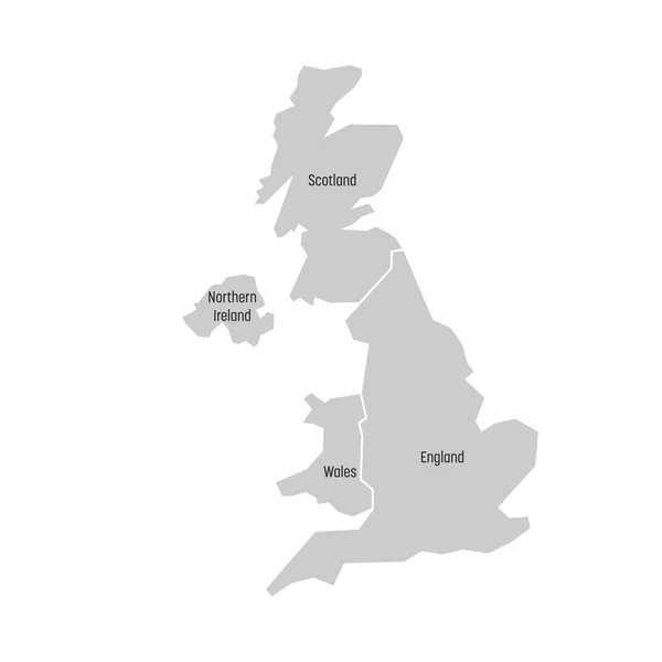
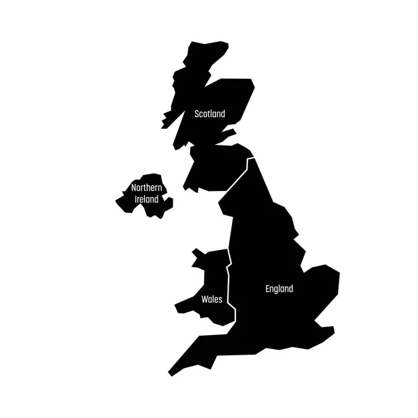
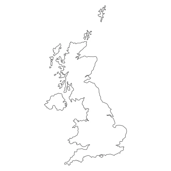
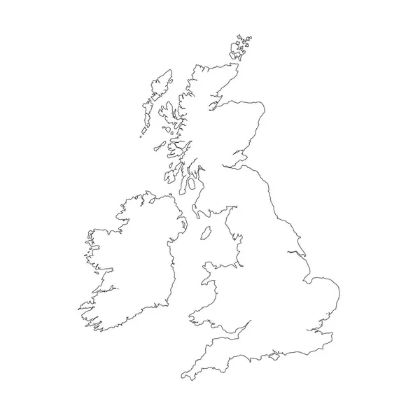
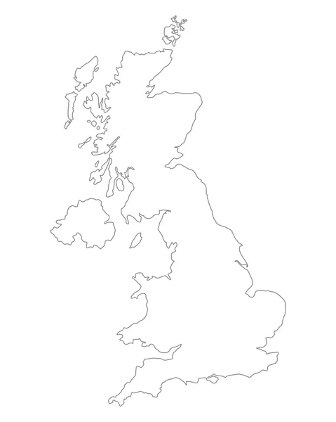
Stock vector Map of United Kingdom countries - England, Wales, Scotland and Northern Ireland. Simple flat vector outline map with labels

Published: Nov.14, 2017 10:59:51
Author: pyty
Views: 252
Downloads: 0
File type: vector / eps
File size: 0.34 MB
Orginal size: 4000 x 4000 px
Available sizes:
Level: silver