Home
Images
Vectors
Videos
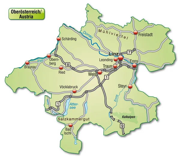
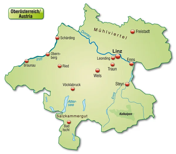
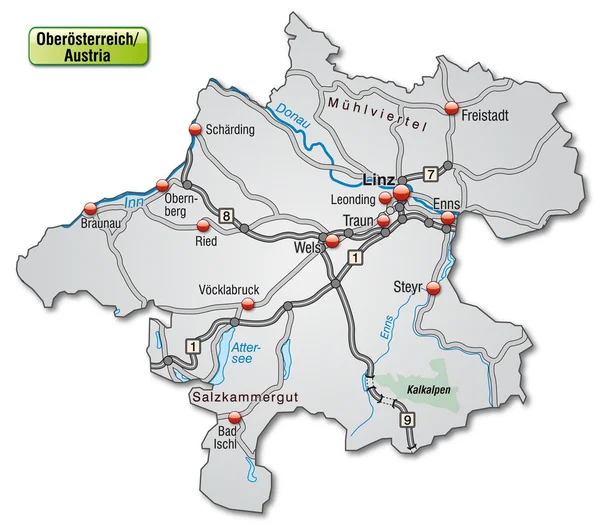
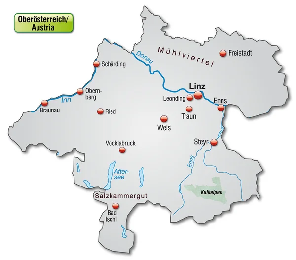
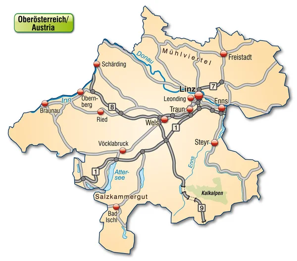
Stock vector Map of upper Austria
Published:
Jan.23, 2014 09:28:41
Author:
artalis
Views:
454
Downloads:
1
File type:
vector
/
ai
File size:
0.78 MB
Orginal size:
4381
x
3849
px
Available sizes:
S
(500 x 439)
M
(1000 x 879)
L
(2000 x 1757)
XL
(4381 x 3849)
VECT
(4381 x 3849)
EL0
(4381 x 3849)
Level:
bronze
Download Vector
Vector topics:
Vector
Background
Illustration
Mountain
Connection
Border
Card
Road
Traffic
With
Network
Way
Information
Highway
Bad
Country
Site
Map
Geography
Plan
National
Overview
State
General
Highways
Chart
Stretch
Motorway
Borders
Island
Of
Federal
Austria
Upper
Canton
Linz
Ried
Ischl
Traun
Voecklabruck
Geographically
Braunau
Leonding
Schaerding
Similar stock vectors
Map Of Lower Austria
4342 × 3856
The Map Is Modern And Contains All Important Topographic Information. Cities,water Network,ridges And Motorways Are Included... The Card Can Be Used Immediately And Is Optimized For Printing And Use In Digital Media. The Color Mode Is RGB.
5104 × 4512
Map Of Upper Austria
4357 × 3828
Map Of Lower Saxony
4255 × 3883
Map Of Upper Austria
4357 × 3828
Map Of Upper Austria
4358 × 3829
Map Of Upper Austria
4358 × 3829
Map Of Upper Austria
4358 × 3829