Home
Images
Vectors
Videos
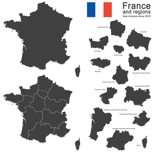
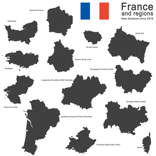
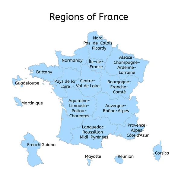
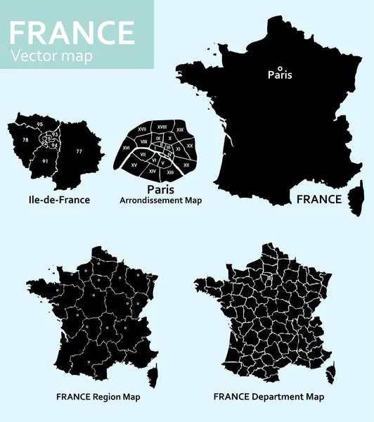
Stock vector Maps of France
Published:
Nov.24, 2014 13:25:25
Author:
vabadov
Views:
152
Downloads:
13
File type:
vector
/
eps
File size:
6.34 MB
Orginal size:
4439
x
5000
px
Available sizes:
S
(444 x 500)
M
(888 x 1000)
L
(1776 x 2000)
XL
(4439 x 5000)
VECT
(4439 x 5000)
EL0
(4439 x 5000)
Level:
bronze
Download Vector
Vector topics:
Image
White
Vector
Graphic
Illustration
Design
Isolated
Travel
European
Black
French
Border
Old
Road
River
Symbol
City
Downtown
Street
Earth
World
France
Detailed
Town
Capital
Europe
Outline
Country
District
Map
Cartography
Geography
Continent
State
Topography
Political
Administrative
Union
Republic
Department
Paris
De
Landmarks
Topographic
Corsica
Regions
Arrondisment
Arrondissements
Similar stock vectors
France Vector Map With Country Name, Black On White Background.
4091 × 4083
Country France And Regions Since 2016
5079 × 5079
Country France And Regions Since 2016
5079 × 5079
Vector Map Of France And Its Largest Cities
4500 × 4344
Vector Map Of France With Main Cities On It. French Cities Skylines Icons. Navigation And Location Signs Set
8333 × 7670
France Map And Country Name Isolated On White Background. Vector Illustration
4250 × 4250
France Administrative Map With New Regions
4483 × 4448
Country France Silhouette
5079 × 5079