Home
Images
Vectors
Videos
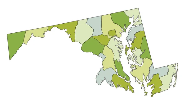
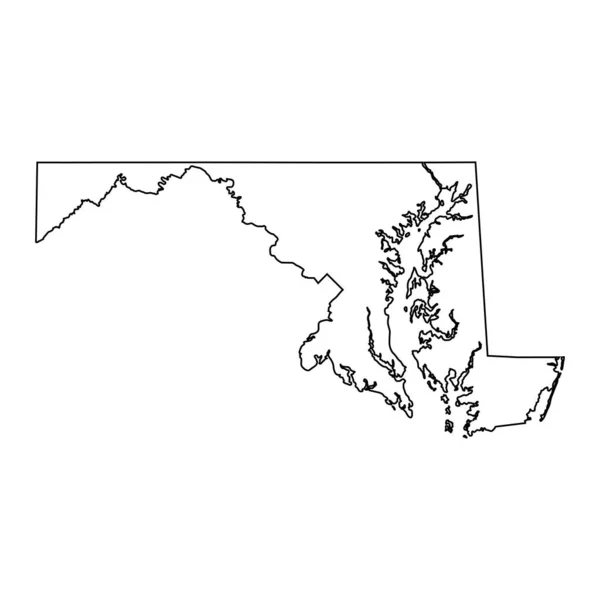
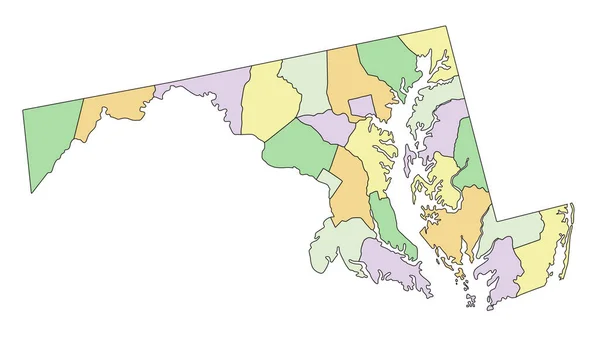
Stock vector Maryland - Highly detailed editable political map.
Published:
Apr.26, 2023 07:13:48
Author:
delpieroo
Views:
0
Downloads:
0
File type:
vector
/
eps
File size:
5.95 MB
Orginal size:
3284
x
1901
px
Available sizes:
S
(500 x 289)
M
(1000 x 579)
L
(2000 x 1158)
XL
(3284 x 1901)
VECT
(3284 x 1901)
EL0
(3284 x 1901)
Level:
bronze
Download Vector
Vector topics:
Blue
Vector
Background
Colored
Illustration
Label
Travel
Sea
Road
Pastel
City
Contour
American
Us
Usa
Ocean
Town
Capital
South
Outline
Country
District
Map
Cartography
Geography
National
Continent
Land
Free
State
Topography
Political
Interstate
Atlantic
Politics
Geographic
Editable
Territory
Atlas
Maryland
County
Mapping
Rivers
Shaded
Baltimore
Annapolis
United States Of America
Washington Dc
Old Line
Similar stock vectors
Highly Detailed Editable Political Map With Separated Layers. Maryland
3284 × 1901
Massachusetts - Highly Detailed Editable Political Map.
2538 × 1703
High Detailed Maryland Physical Map.
3284 × 1901
Highly Detailed Editable Political Map With Separated Layers. Massachusetts.
2538 × 1703
Richmond County (Canada, Nova Scotia Province, North America) Map Vector Illustration, Scribble Sketch Comte De Richmond Or Siorramachd Richmond Map
7087 × 4726
Maryland MD State Border USA Map Outline
8334 × 8334
High Detailed Massachusetts Physical Map
2538 × 1703
Virginia - Highly Detailed Editable Political Map.
5547 × 3310