Home
Images
Vectors
Videos
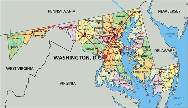
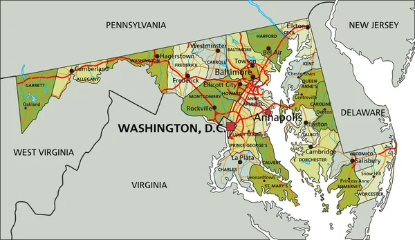
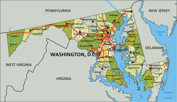
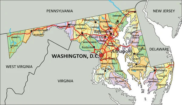
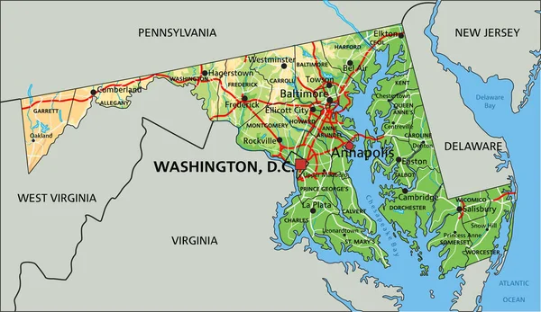
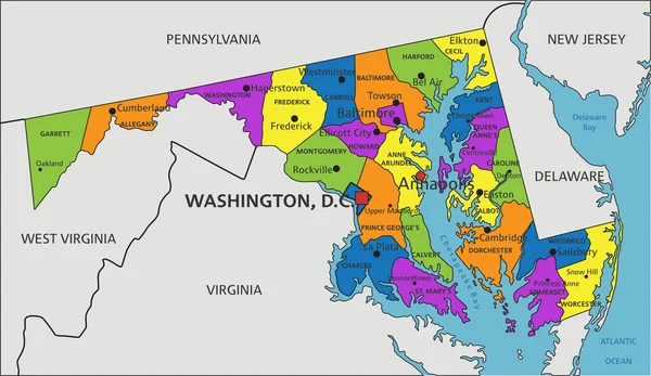
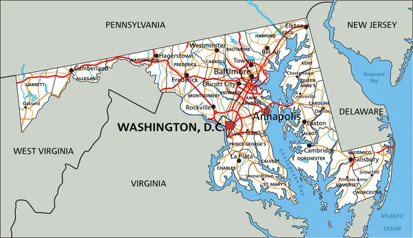
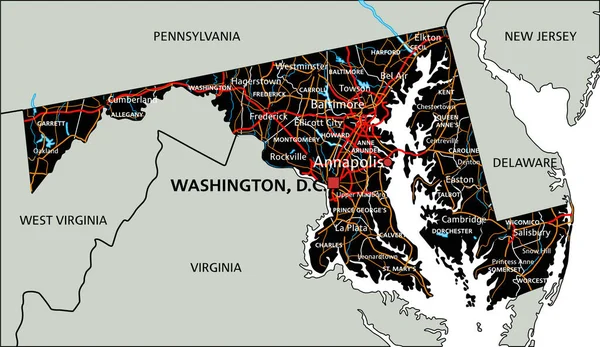
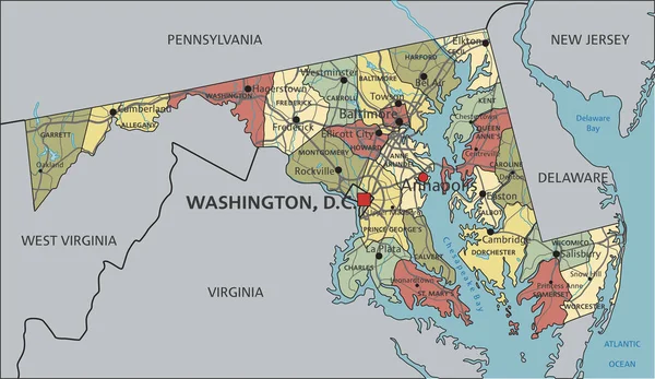
Stock vector Maryland - Highly detailed editable political map with labeling.
Published:
Apr.26, 2023 07:13:48
Author:
delpieroo
Views:
1
Downloads:
0
File type:
vector
/
eps
File size:
7.22 MB
Orginal size:
3288
x
1905
px
Available sizes:
S
(500 x 290)
M
(1000 x 579)
L
(2000 x 1159)
XL
(3288 x 1905)
VECT
(3288 x 1905)
EL0
(3288 x 1905)
Level:
bronze
Download Vector
Vector topics:
Blue
Vector
Background
Colored
Illustration
Label
Travel
Sea
Road
Pastel
City
Contour
American
Us
Usa
Ocean
Town
Capital
South
Outline
Country
District
Map
Cartography
Geography
National
Continent
Land
Free
State
Topography
Political
Interstate
Atlantic
Politics
Geographic
Editable
Territory
Atlas
Maryland
County
Mapping
Rivers
Shaded
Baltimore
Annapolis
United States Of America
Washington Dc
Old Line
Similar stock vectors
Maryland - Highly Detailed Editable Political Map With Labeling.
3288 × 1905
Highly Detailed Editable Political Map With Separated Layers. Maryland
3288 × 1905
Highly Detailed Editable Political Map With Separated Layers. Maryland
3288 × 1905
Maryland - Highly Detailed Editable Political Map With Labeling.
3288 × 1905
High Detailed Maryland Physical Map With Labeling.
3288 × 1905
Colorful Maryland Political Map With Clearly Labeled, Separated Layers. Vector Illustration.
3288 × 1905
High Detailed Maryland Road Map With Labeling.
3288 × 1905
High Detailed Maryland Road Map With Labeling.
3289 × 1905