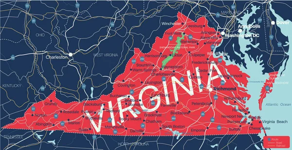
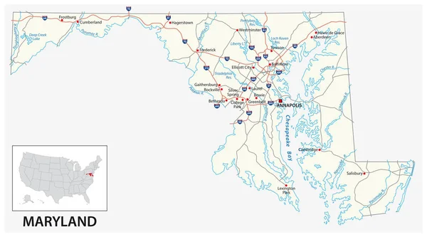
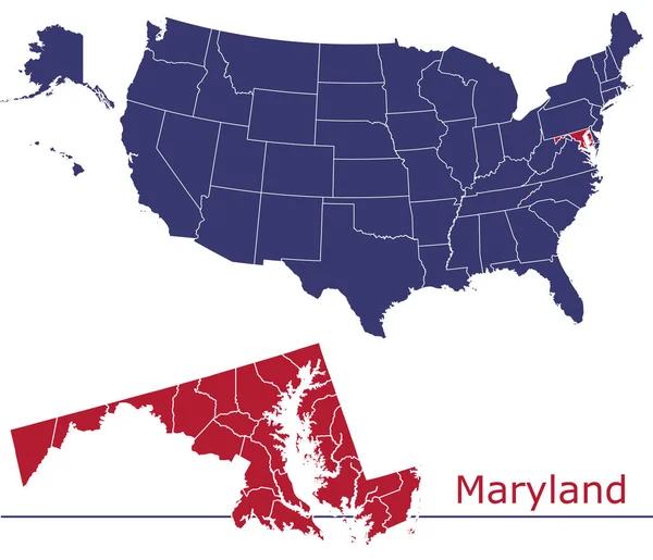
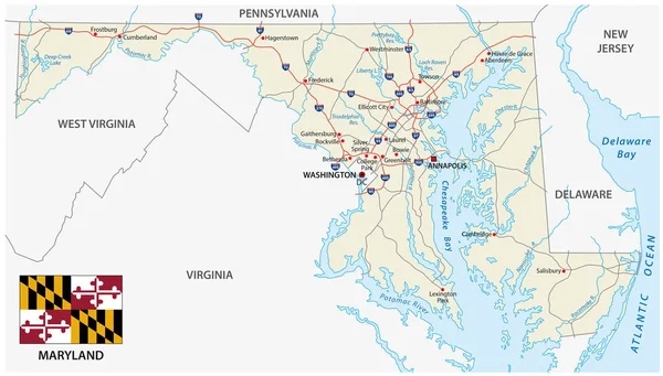
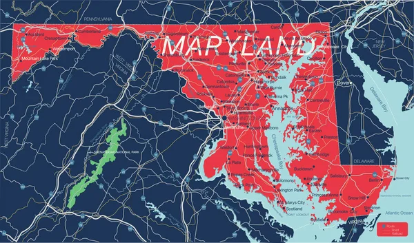
Stock vector Maryland state detailed editable map
Published: Dec.10, 2020 08:14:29
Author: olinchuk
Views: 64
Downloads: 1
File type: vector / eps
File size: 2.01 MB
Orginal size: 6876 x 4053 px
Available sizes:
Level: gold