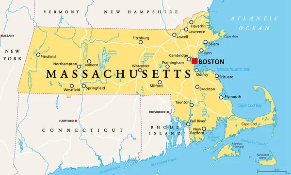
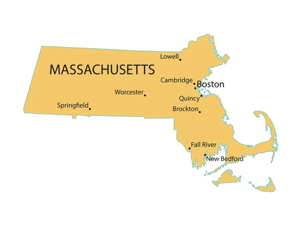
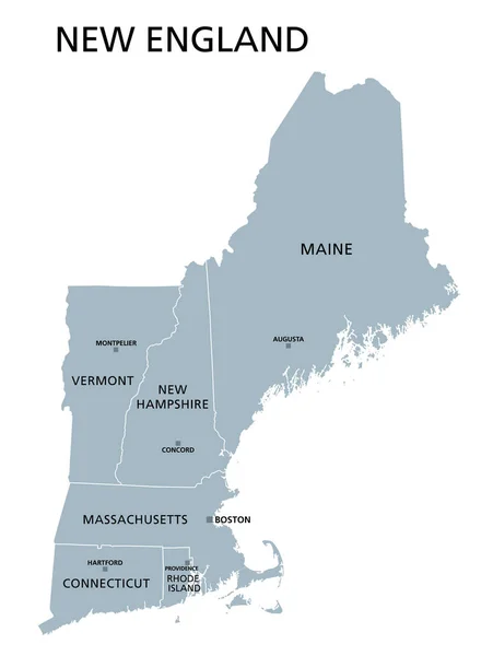
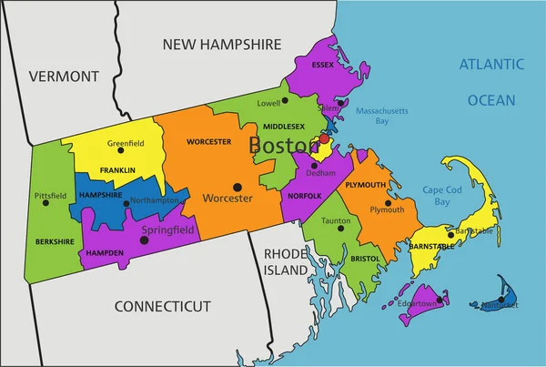
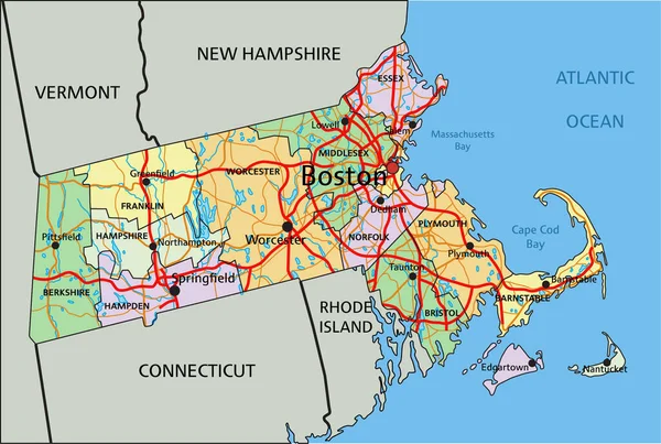
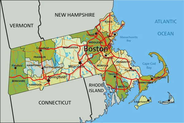
Stock vector Massachusetts, gray political map, with capital Boston. Commonwealth of Massachusetts, MA. Most populous state in the New England region of United States. The Bay State. English. Illustration. Vector.

Published: Sep.21, 2020 12:18:18
Author: Furian
Views: 19
Downloads: 3
File type: vector / eps
File size: 2.72 MB
Orginal size: 9000 x 5358 px
Available sizes:
Level: silver