Home
Images
Vectors
Videos
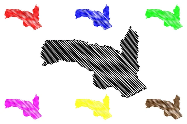
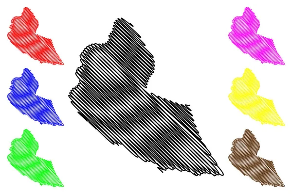
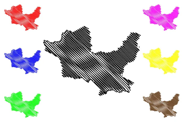
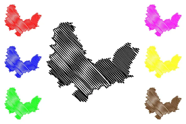
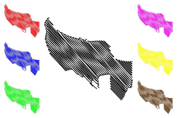
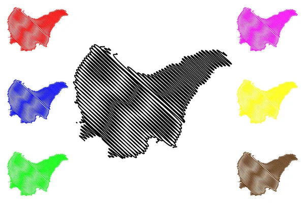
Stock vector Matabeleland North Province (Republic of Zimbabwe, Provinces of Zimbabwe) map vector illustration, scribble sketch Matabeleland North map
Published:
Aug.06, 2019 07:26:18
Author:
Danler
Views:
0
Downloads:
0
File type:
vector
/
eps
File size:
1.06 MB
Orginal size:
7087
x
4726
px
Available sizes:
S
(500 x 333)
M
(1000 x 667)
L
(2000 x 1334)
XL
(7087 x 4726)
VECT
(7087 x 4726)
EL0
(7087 x 4726)
Level:
bronze
Download Vector
Vector topics:
Vector
Background
Illustration
Design
Isolated
Sign
Travel
Abstract
Texture
Line
Silhouette
Border
Icon
City
Flat
Contour
Drawing
World
Scratch
Town
Outline
Country
Map
Cartography
Geography
Area
National
Africa
Continent
State
Topography
Administrative
Republic
Region
Scribble
Division
Southern
Insignia
Territory
Patriotic
Province
Metropolitan
County
Districts
Autonomy
Oblast
Zimbabwe
Victoria Falls
Matabeleland North
Lupane
Similar stock vectors
Sangha Department (Departments Of The Republic Of The Congo, Congo-Brazzaville, Congo Republic,RotC) Map Vector Illustration, Scribble Sketch Sangha Map
7087 × 4726
Ribeira Grande De Santiago Municipality (Republic Of Cabo Verde, Concelhos, Cape Verde, Santiago Island, Archipelago) Map Vector Illustration, Scribble Sketch Ribeira Grande De Santiago Map
7087 × 4726
Minden-Lubbecke District (Federal Republic Of Germany, State Of North Rhine-Westphalia, NRW, Detmold Region) Map Vector Illustration, Scribble Sketch Minden Lubbecke Map
7087 × 4726
Delta State (Subdivisions Of Nigeria, Federated State Of Nigeria) Map Vector Illustration, Scribble Sketch Delta Map
7087 × 4726
Sikar District (Rajasthan State, Republic Of India) Map Vector Illustration, Scribble Sketch Sikar Map
7087 × 4726
Sumqayit City (Republic Of Azerbaijan) Map Vector Illustration, Scribble Sketch City Of Sumgait Or Sumgayit Map
7087 × 4726
Erewash Local Government District And Borough (United Kingdom Of Great Britain And Northern Ireland, Ceremonial County Derbyshire, England) Map Vector Illustration, Scribble Sketch Map
7087 × 4726
Othonoi Island (Hellenic Republic, Greece, Greek Island) Map Vector Illustration, Scribble Sketch Othoni Or Calypso Map
7087 × 4726