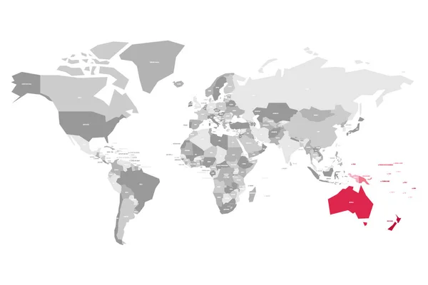
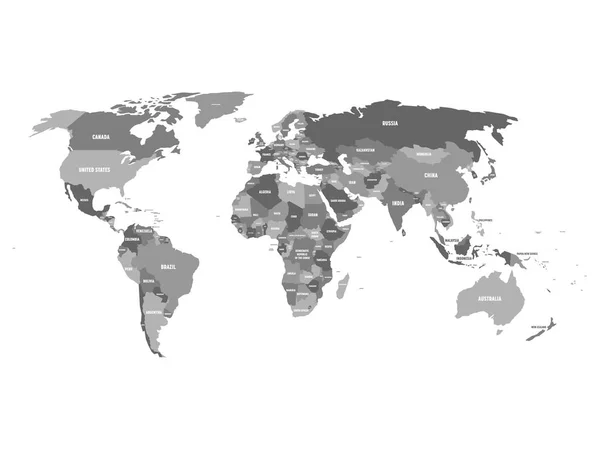
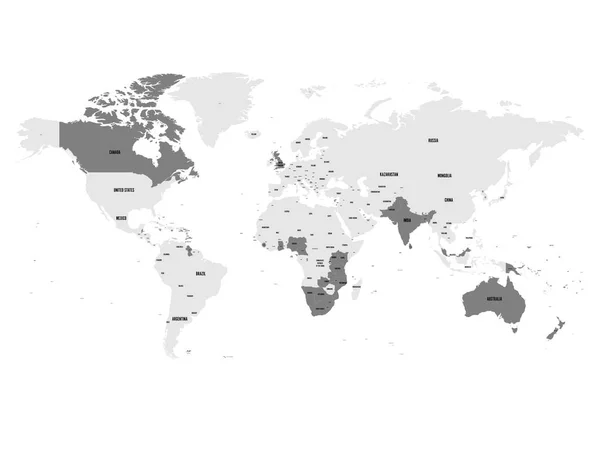
Stock vector Member states of the British Commonwealth blue highlighted in the world map. Vector illustration
Published: May.16, 2017 06:02:13
Author: pyty
Views: 73
Downloads: 2
File type: vector / eps
File size: 5.78 MB
Orginal size: 8000 x 6000 px
Available sizes:
Level: silver