Home
Images
Vectors
Videos
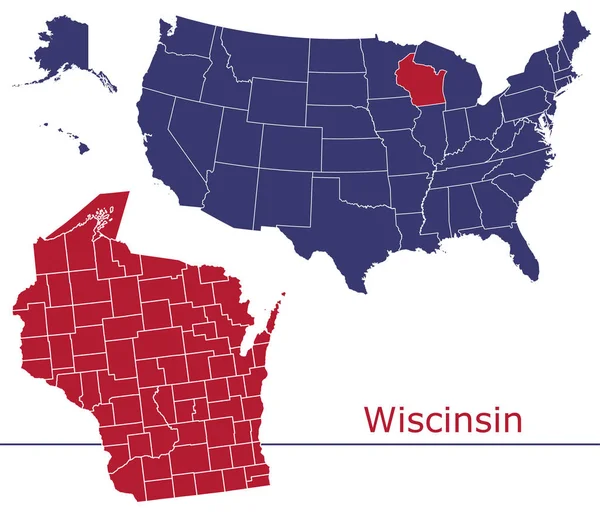
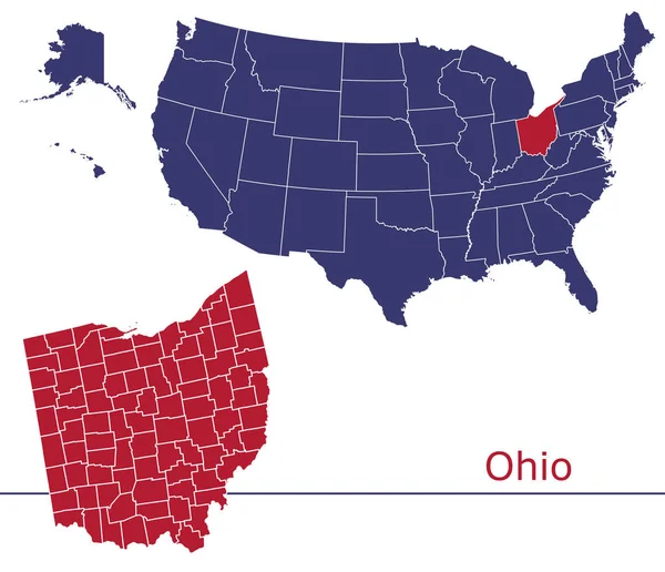
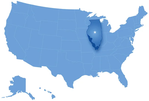
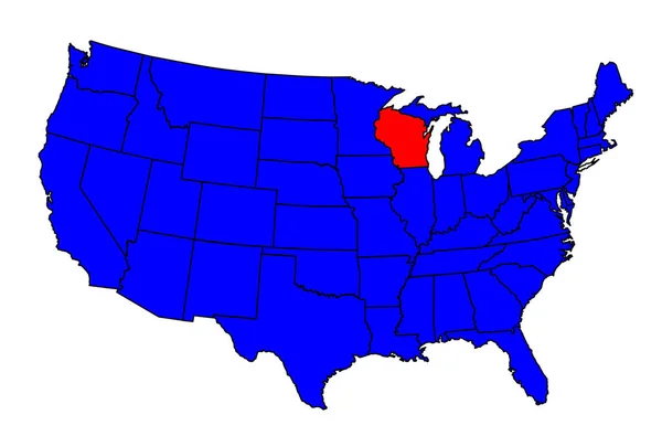
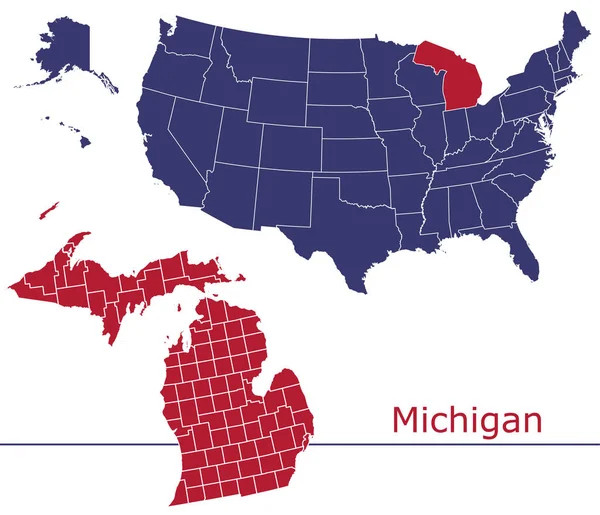
Stock vector Michigan counties vector map with USA map colors national flag
Published:
Feb.03, 2020 20:15:00
Author:
Litteralis
Views:
0
Downloads:
0
File type:
vector
/
eps
File size:
22.83 MB
Orginal size:
4680
x
4023
px
Available sizes:
S
(500 x 430)
M
(1000 x 860)
L
(2000 x 1719)
XL
(4680 x 4023)
VECT
(4680 x 4023)
EL0
(4680 x 4023)
Level:
bronze
Download Vector
Vector topics:
Color
Red
White
Blue
Vector
Background
Graphic
Isolated
Shape
Line
Silhouette
Border
Flag
Lines
Contour
American
Us
Usa
Country
Map
Geography
Area
National
Land
State
America
Boundary
Political
Administrative
Official
Territory
County
Divisions
Regional
Michigan
Provinces
Regions
Detroit
Counties
Departments
Lansing
Municipalities
United States
Townships
Vector Map
Michigan Map
Michigan Vector
Michigan County
Michigan Administrative
Michigan Municipalities
Similar stock vectors
Wisconsin Counties Vector Map With USA Map Colors National Flag
4680 × 4024
Map Of Michigan, USA.
8000 × 4848
Ohio Counties Vector Map With USA Map Colors National Flag
4679 × 4024
Map Of States Of The United States Where Illinois Is Pulled Out
5666 × 3849
State Of Wisconsin Location
6274 × 4137
Michigan Map Shape, United States Of America. Flat Concept Icon Symbol Vector Illustration .
4970 × 3511