photo free
Home Images Vectors Videos

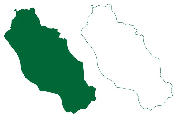
Stock vector Mirpur district (Jammu and Kashmir union territory, Republic of India, Islamic Republic of Pakistan) map vector illustration, scribble sketch Mirpur map

Stock vector Mirpur district (Jammu and Kashmir union territory, Republic of India, Islamic Republic of Pakistan) map vector illustration, scribble sketch Mirpur map
Published: Sep.03, 2021 09:14:11
Author: Danler
Views: 0
Downloads: 0
File type: vector / eps
File size: 0.65 MB
Orginal size: 7087 x 4726 px
Available sizes:
S
(500 x 333)
M
(1000 x 667)
L
(2000 x 1334)
XL
(7087 x 4726)
VECT
(7087 x 4726)
EL0
(7087 x 4726)
Level: bronze
Download Vector
Vector topics:

Similar stock vectors

stock vector Felicite island (Republic of Seychelles, Indian Ocean) map vector illustration, scribble sketch map

Felicite Island (Republic Of Seychelles, Indian Ocean) Map Vector Illustration, Scribble Sketch Map

7087 × 4726
stock vector Map of Lake Tanganyika

Map Of Lake Tanganyika

4000 × 5000
stock vector Varzedo municipality (Bahia state, Municipalities of Brazil, Federative Republic of Brazil) map vector illustration, scribble sketch Varzedo map

Varzedo Municipality (Bahia State, Municipalities Of Brazil, Federative Republic Of Brazil) Map Vector Illustration, Scribble Sketch Varzedo Map

7087 × 4726
stock vector Rio de Contas municipality (Bahia state, Municipalities of Brazil, Federative Republic of Brazil) map vector illustration, scribble sketch Rio de Contas map

Rio De Contas Municipality (Bahia State, Municipalities Of Brazil, Federative Republic Of Brazil) Map Vector Illustration, Scribble Sketch Rio De Contas Map

7087 × 4726
stock vector Jaguare municipality (Espirito Santo state, Municipalities of Brazil, Federative Republic of Brazil) map vector illustration, scribble sketch Jaguar map

Jaguare Municipality (Espirito Santo State, Municipalities Of Brazil, Federative Republic Of Brazil) Map Vector Illustration, Scribble Sketch Jaguar Map

7087 × 4726
stock vector Mantenopolis municipality (Espirito Santo state, Municipalities of Brazil, Federative Republic of Brazil) map vector illustration, scribble sketch Mantenpolis map

Mantenopolis Municipality (Espirito Santo State, Municipalities Of Brazil, Federative Republic Of Brazil) Map Vector Illustration, Scribble Sketch Mantenpolis Map

7087 × 4726
stock vector Piedras Negras municipality (Free and Sovereign State of Coahuila de Zaragoza, Mexico, United Mexican States) map vector illustration, scribble sketch Piedras Negras map

Piedras Negras Municipality (Free And Sovereign State Of Coahuila De Zaragoza, Mexico, United Mexican States) Map Vector Illustration, Scribble Sketch Piedras Negras Map

7087 × 4726
stock image Illustration of a green ground map of Benin on white isolated background. Right 3D isometric perspective projection.

Illustration Of A Green Ground Map Of Benin On White Isolated Background. Right 3D Isometric Perspective Projection.

3782 × 3165