Home
Images
Vectors
Videos
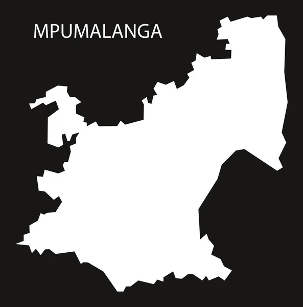
Stock vector Mpumalanga South Africa map black inverted silhouette illustrati
Published:
Jul.03, 2017 10:22:24
Author:
ingomenhard
Views:
72
Downloads:
1
File type:
vector
/
eps
File size:
4.54 MB
Orginal size:
5000
x
5052
px
Available sizes:
S
(495 x 500)
M
(990 x 1000)
L
(1979 x 2000)
XL
(5000 x 5052)
VECT
(5000 x 5052)
EL0
(5000 x 5052)
Level:
bronze
Download Vector
Vector topics:
Graphic
Illustration
Design
Isolated
Shape
New
Black
Silhouette
Border
Modern
Flat
Simple
Country
Map
Area
Trip
State
Countries
Borders
Administrative
Department
Region
Division
Territory
Inverted
Province
County
Divisions
Regional
Districts
Regions
Mpumalanga
Departments
South Africa
Similar stock vectors
Mpumalanga South Africa Map Grey
5000 × 5052
High Quality Map Is A Province Of South Africa
4000 × 4000
High Quality Map Of Mpumalanga Is A Region Of South Africa, With Borders Of The Districts
4000 × 4000
Black Malawi Map - Vector Illustration
6000 × 9000
Tanzania Region Map Grey Outline On White Background Detailed Map Of Tanzania Regions Vector
8333 × 8333
Botswana Map With Districts And Labels Black
6500 × 6524
KwaZulu Natal South Africa Map Grey
5000 × 5997
Malawi Handdrawn Map Colourful Sketchy Country Outline Superb Malawi Map With Provinces Vector
5485 × 5485