Home
Images
Vectors
Videos
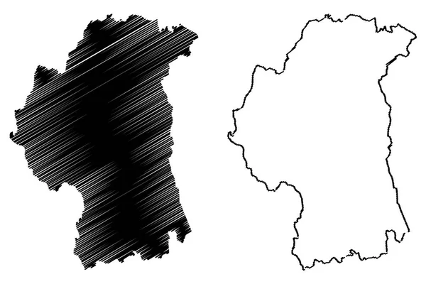
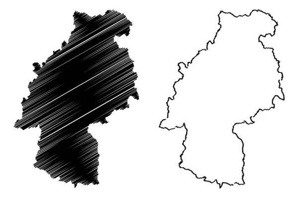
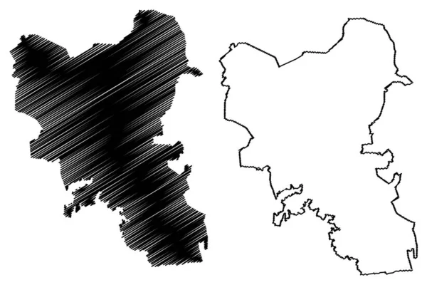
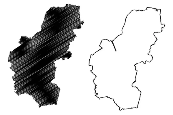
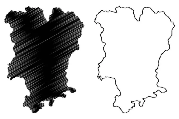
Stock vector Mtskheta-Mtianeti region (Republic of Georgia - country, Administrative divisions of Georgia) map vector illustration, scribble sketch Mtskheta Mtianeti ma
Published:
Jan.03, 2020 11:46:38
Author:
Danler
Views:
0
Downloads:
0
File type:
vector
/
eps
File size:
0.8 MB
Orginal size:
7087
x
4726
px
Available sizes:
S
(500 x 333)
M
(1000 x 667)
L
(2000 x 1334)
XL
(7087 x 4726)
VECT
(7087 x 4726)
EL0
(7087 x 4726)
Level:
bronze
Download Vector
Vector topics:
Vector
Background
Illustration
Design
Isolated
Sign
Travel
Abstract
Texture
Line
Silhouette
Border
Icon
City
Flat
Contour
Drawing
World
Scratch
Tourism
Europe
Sketch
Outline
Country
Map
Cartography
Geography
Area
National
Continent
Asia
State
Topography
Administrative
Republic
Georgia
Region
Scribble
Division
Insignia
Territory
Patriotic
Province
County
Eurasia
Districts
Autonomy
Oblast
Mtskheta
Mtskheta Mtianeti
Similar stock vectors
County Armagh Map Vecto
7087 × 4726
Rajnandgaon District (Chhattisgarh State, Durg Division, Republic Of India) Map Vector Illustration, Scribble Sketch Rajnandgaon Map
7087 × 4726
Huancavelica Region Map Vecto
7087 × 4726
Hassberge District (Federal Republic Of Germany, Rural District Lower Franconia, Free State Of Bavaria) Map Vector Illustration, Scribble Sketch Hasberge Map
7087 × 4726
Jerecuaro Municipality (Free And Sovereign State Of Guanajuato, Mexico, United Mexican States) Map Vector Illustration, Scribble Sketch Map
7087 × 4726
Gajapati District (Odisha State, Republic Of India) Map Vector Illustration, Scribble Sketch Gajapati Map
7087 × 4726
Ilm-Kreis District (Federal Republic Of Germany, Rural District, Free State Of Thuringia) Map Vector Illustration, Scribble Sketch Ilm Kreis Map
7087 × 4726
King's Lynn And West Norfolk Non-metropolitan District, Borough (United Kingdom Of Great Britain And Northern Ireland, Ceremonial County Norfolk, England) Map Vector Illustration, Scribble Sketch Map
7087 × 4726