Home
Images
Vectors
Videos
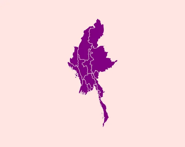
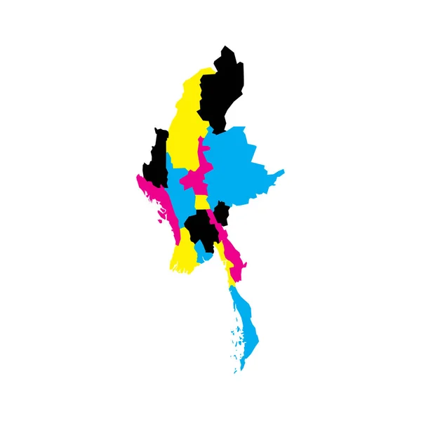
Stock vector Myanmar political map of administrative divisions - states, regions and Naypyitaw Union Territory. Blank vector map in CMYK colors.
Published:
Apr.23, 2023 07:30:27
Author:
pyty
Views:
0
Downloads:
0
File type:
vector
/
eps
File size:
0.25 MB
Orginal size:
8000
x
8000
px
Available sizes:
S
(500 x 500)
M
(1000 x 1000)
L
(2000 x 2000)
XL
(8000 x 8000)
VECT
(8000 x 8000)
EL0
(8000 x 8000)
Level:
silver
Download Vector
Vector topics:
Color
Yellow
Vector
Colorful
Illustration
Design
Border
Blank
Detailed
Country
District
Map
Cartography
Geography
Area
National
Land
Asia
Unit
State
Sovereign
Cyan
Boundary
Government
Political
Administrative
Union
Department
Region
Division
Federal
Cmyk
Local
Province
Nation
Subdivision
Geographical
Regional
Divided
Autonomy
Entity
Myanmar
Burmese
Autonomous
Burma
Unitary
Infographic
Teritorry
Nay Pyi Taw
Naypyitaw
Similar stock vectors
Myanmar Map. Burma Country Map. Black And White Burmese National Nation Outline Geography Border Boundary Shape Territory Vector Illustration EPS Clipart
5000 × 4000
Map Of Myanmar. High Detailed Vector Map - .myanmar
5000 × 3500
High Detailed Purple Map Of Myanmar On Isolated Background, Vector Illustration EPS 10
5000 × 4000
Thailand Map, Individual Regions, Administrative Division, Colors Map Isolated On White Background, Blank
4000 × 4283
Myanmar Map Vector Design Template Illustration
4376 × 4376
Isolated Vector Illustration. Black On White Background. EPS 10 Illustration
10000 × 10000
Antiparos Island (Hellenic Republic, Greece, Greek Island) Map Vector Illustration, Scribble Sketch Antiparos Map
7087 × 4726
Vector Collage Map Of Myanmar Of SARS Virus Icons And Solid Map
4097 × 3906