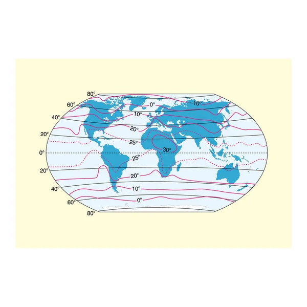
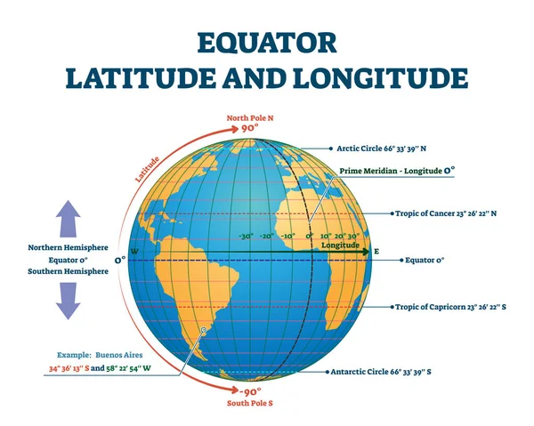
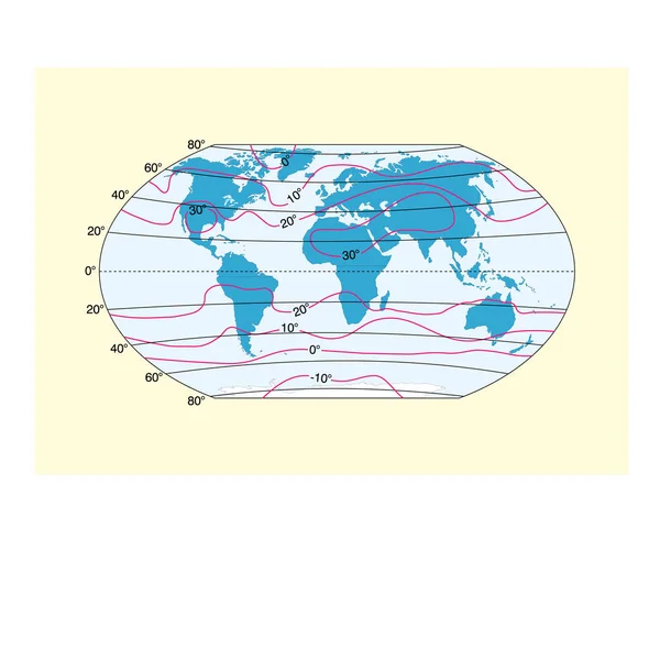
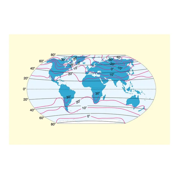
Stock vector Named latitudes on the Earth. The equator is the largest of the parallels of significance on Earth. The four others are Arctic Circle, Tropic of Cancer, Tropic of Capricorn and the Antarctic circle.

Published: Jan.30, 2024 07:58:13
Author: Furian
Views: 4
Downloads: 1
File type: vector / eps
File size: 1.62 MB
Orginal size: 9000 x 6000 px
Available sizes:
Level: silver