Home
Images
Vectors
Videos
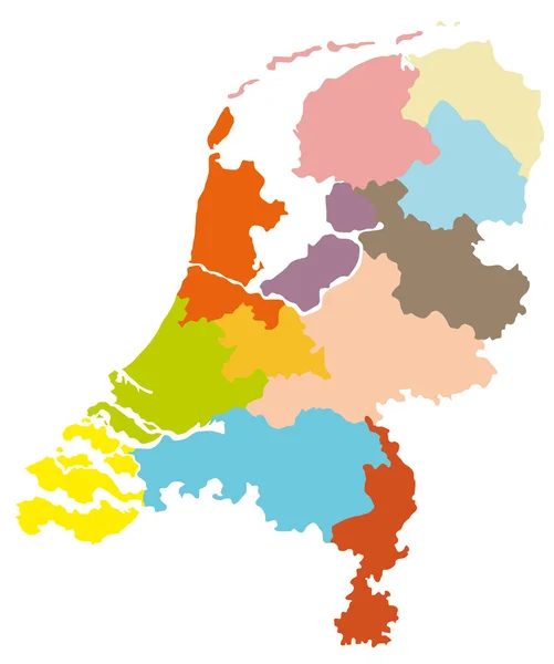
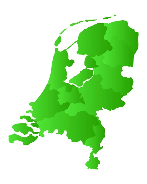
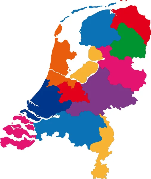
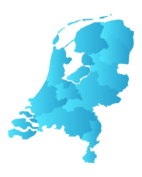
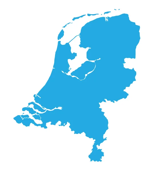
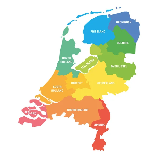
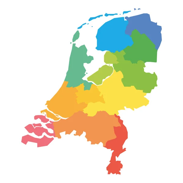
Stock vector Netherlands - map of provinces
Published:
Oct.26, 2020 22:03:55
Author:
pyty
Views:
7
Downloads:
0
File type:
vector
/
eps
File size:
0.95 MB
Orginal size:
6000
x
6000
px
Available sizes:
S
(500 x 500)
M
(1000 x 1000)
L
(2000 x 2000)
XL
(6000 x 6000)
VECT
(6000 x 6000)
EL0
(6000 x 6000)
Level:
silver
Download Vector
Vector topics:
Vector
Colorful
Graphic
Colored
Illustration
Isolated
Shape
Empty
Detail
Silhouette
Border
Rainbow
Blank
Contour
Simple
Netherlands
Holland
Country
District
Map
Cartography
Geography
National
Land
Spectrum
State
Boundary
Political
Administrative
Union
Region
Frontier
Province
Dutch
Amsterdam
Rotterdam
Provinces
Simplified
Brabant
Limburg
Gelderland
Zeeland
Drenthe
Utrecht
Groningen
Flevoland
Infographics
Overijssel
Infographic
Administrative Divisions
Similar stock vectors
Map Of Holland
3700 × 4428
Map Of The Netherlands
4000 × 5000
Netherlands Map
4233 × 5002
Map Of The Netherlands
4000 × 5000
Map Of The Netherlands
4000 × 5000
Blue Map Of Netherlands
3870 × 4300
Netherlands - Map Of Provinces
6000 × 6000
Netherlands Map Colorful Country Icon
4521 × 4521