photo free
Home Images Vectors Videos

Stock vector Netherlands - map of provinces
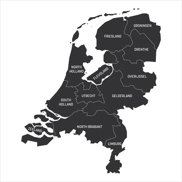
Stock vector Netherlands - map of provinces
Published: Dec.15, 2020 08:57:08
Author: pyty
Views: 3
Downloads: 0
File type: vector / eps
File size: 1.06 MB
Orginal size: 6000 x 6000 px
Available sizes:
S
(500 x 500)
M
(1000 x 1000)
L
(2000 x 2000)
XL
(6000 x 6000)
VECT
(6000 x 6000)
EL0
(6000 x 6000)
Level: silver
Download Vector
Vector topics:

Similar stock vectors

stock vector Netherlands provinces map

Netherlands Provinces Map

4324 × 5000
stock vector Map of thr Netherlands

Map Of Thr Netherlands

4000 × 5000
stock vector Map of Holland

Map Of Holland

3700 × 4428
stock image Netherlands map, administrative division, blue white card paper 3D blank

Netherlands Map, Administrative Division, Blue White Card Paper 3D Blank

4103 × 4000
stock vector Gray Provinces Map of European Country of Netherlands

Gray Provinces Map Of European Country Of Netherlands

3600 × 4800
stock vector Netherlands provinces map

Netherlands Provinces Map

4324 × 5000
stock vector Netherlands Regions Map Vector

Netherlands Regions Map Vector

5200 × 5200
stock vector The detailed map of Netherlands with regions. Administrative division.

The Detailed Map Of Netherlands With Regions. Administrative Division.

5000 × 6000