Home
Images
Vectors
Videos
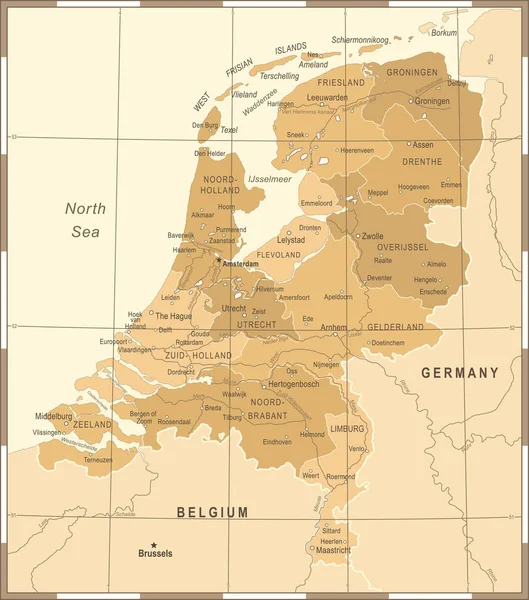
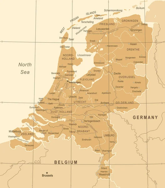
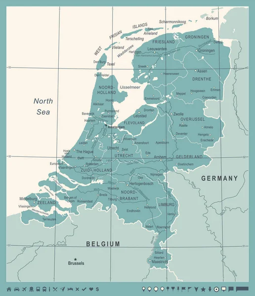
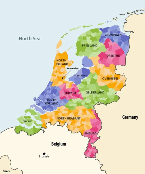
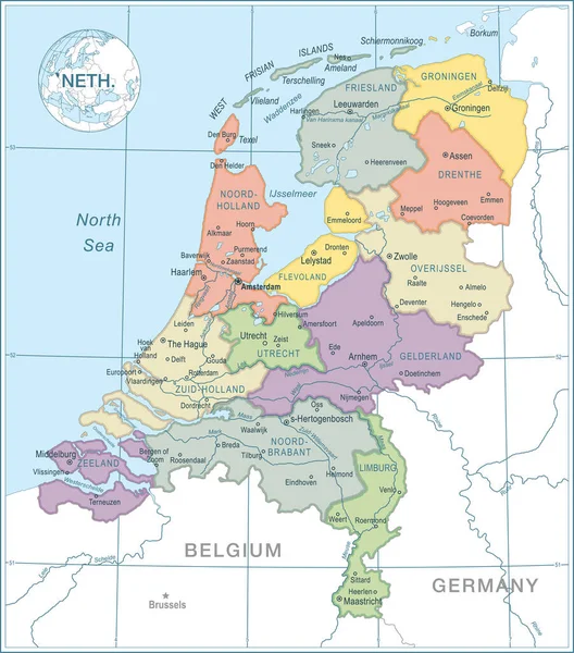
Stock vector Netherlands Map - Vintage Vector Illustration
Published:
Nov.21, 2017 08:45:32
Author:
dikobrazik
Views:
53
Downloads:
2
File type:
vector
/
eps
File size:
3.42 MB
Orginal size:
5500
x
6234
px
Available sizes:
S
(441 x 500)
M
(882 x 1000)
L
(1765 x 2000)
XL
(5500 x 6234)
VECT
(5500 x 6234)
EL0
(5500 x 6234)
Level:
silver
Download Vector
Vector topics:
Vector
Illustration
Border
Old
Retro
Vintage
City
Contour
World
Netherlands
Holland
Detailed
Europe
Country
Map
Geography
Land
Topography
Political
ZEALAND
Dutch
Amsterdam
Rotterdam
Haarlem
Utrecht
Capital Cities
Navigational Equipment
Geographical Locations
The Hague
Similar stock vectors
Netherlands Map - Vintage Vector Illustration
5500 × 6234
Belgium Map - Vintage Vector Illustration
5707 × 5500
Netherlands Map - Vintage Vector Illustration
5500 × 6258
Netherlands Map - Vintage Vector Illustration
5500 × 6253
Netherlands Map - Vintage Vector Illustration
5500 × 6388
Map Of Netherlands - High Details Vector Illustration
4871 × 5528
Netherlands Local Municipalities Colored By Provinces Map With Neighbouring Countries And Terrotories. Vector
6990 × 8333
Netherlands Map - High Details Vector Illustration
4767 × 5411