Home
Images
Vectors
Videos
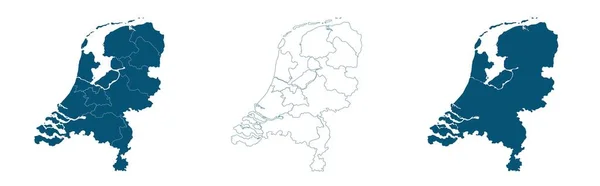
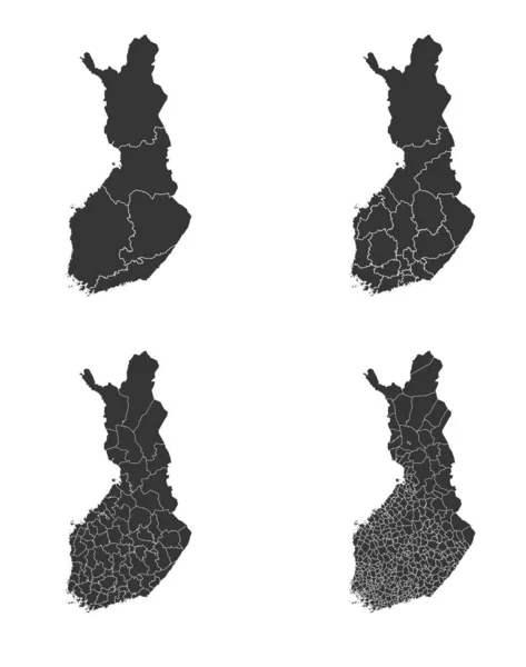
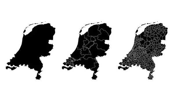
Stock vector Netherlands map municipal, region, state division. Administrative borders, outline black on white background vector illustration.
Published:
Jun.08, 2021 06:46:42
Author:
Litteralis
Views:
2
Downloads:
0
File type:
vector
/
eps
File size:
5.88 MB
Orginal size:
5334
x
3001
px
Available sizes:
S
(500 x 281)
M
(1000 x 563)
L
(2000 x 1125)
XL
(5334 x 3001)
VECT
(5334 x 3001)
EL0
(5334 x 3001)
Level:
bronze
Download Vector
Vector topics:
White
Vector
Background
Illustration
Isolated
Shape
Black
Line
Border
Contour
Netherlands
Detailed
Outline
Map
Area
Land
State
Borders
Boundary
Political
Administrative
Region
Division
Territory
Municipal
Nation
Municipality
Regional
Provinces
Departments
Netherlands Map
Similar stock vectors
Map Of Netherlands In Blue On A White Background
8596 × 2676
Germany Map Municipal, Region, State Division. Administrative Borders, Outline Black On White Background Vector Illustration.
5334 × 3001
Senegal Vector Maps With Administrative Regions, Municipalities, Departments, Borders
12622 × 6919
Country Shape Illustration Of Netherlands Netherlands
6667 × 3333
Map Of The Country Of Netherlands
4861 × 2431
San Lorenzo Municipality (Commonwealth Of Puerto Rico, Porto Rico, PR, Unincorporated Territories Of The United States) Map Vector Illustration, Scribble Sketch San Lorenzo Map
7087 × 4726
London Borough Of Waltham Forest (United Kingdom Of Great Britain And Northern Ireland, Ceremonial County And Region Greater London, England) Map Vector Illustration, Scribble Sketch Map
7087 × 4726
Finland Map With Regional Division
4772 × 6048