Home
Images
Vectors
Videos
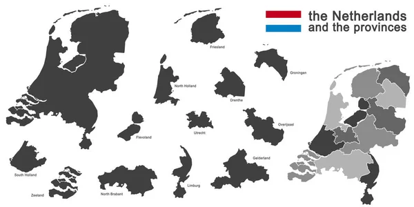
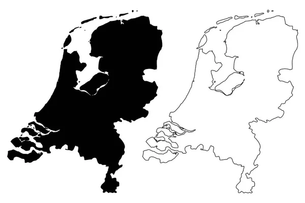
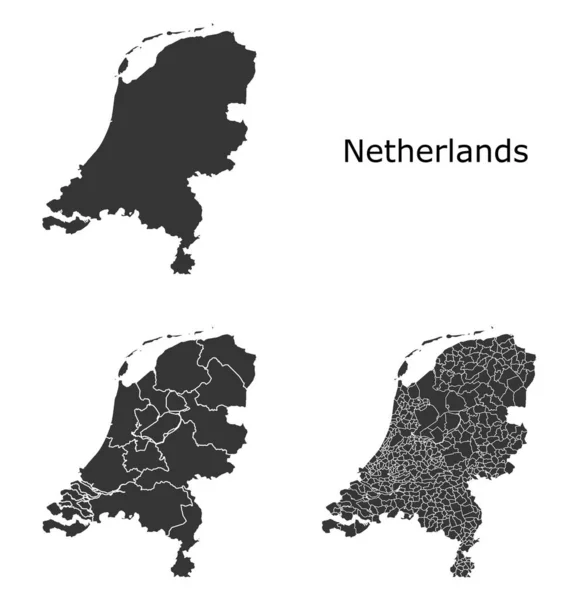
Stock vector Netherlands map with regional division
Published:
Jan.24, 2020 14:05:27
Author:
Litteralis
Views:
28
Downloads:
1
File type:
vector
/
eps
File size:
10.77 MB
Orginal size:
4786
x
4982
px
Available sizes:
S
(480 x 500)
M
(961 x 1000)
L
(1921 x 2000)
XL
(4786 x 4982)
VECT
(4786 x 4982)
EL0
(4786 x 4982)
Level:
bronze
Download Vector
Vector topics:
Color
White
Vector
Background
Graphic
Illustration
Design
Isolated
Shape
European
Line
Border
Symbol
Lines
Digital
Contour
Grey
Detailed
Europe
Outline
Country
Map
Geography
Area
National
Land
State
Boundary
Political
Administrative
Official
Region
Territory
Nation
Divisions
Regional
Provinces
Regions
Departments
Municipalities
White Background
Vector Map
Netherlands Map
Netherlands Vector
Netherlands Region
Netherlands Regions
Regions Map
Netherlands Administrative
Netherlands Municipalities
Similar stock vectors
Vector Rainbow Colored Dotted Map Of Netherlands
4519 × 3541
Gold Square Mosaic Map Of Netherlands
5955 × 4198
Vector Halftone Dotted Map Of Netherlands Country For Your Design, Travel Illustration Concept.
3861 × 2901
Squared Background With The Country Shape Of Netherlands
3125 × 3125
Amsterdam, Netherlands. Detailed Country Map With Location Pin On Capital City. Black Silhouette And Outline Maps Isolated On White Background. EPS Vector
9376 × 7293
Vector Halftone Mosaic And Solid Map Of North Holland
4042 × 3958
Silhouette Of The Netherlands And The Regions
11693 × 5846
Netherlands Map Vector
7087 × 4724