Home
Images
Vectors
Videos
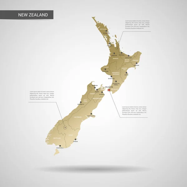
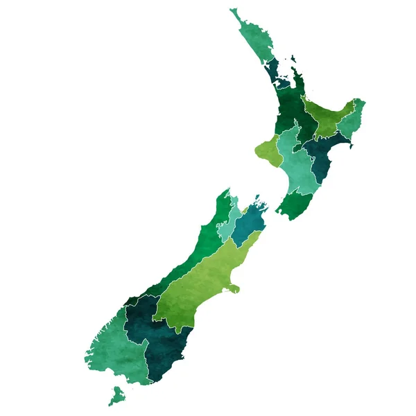
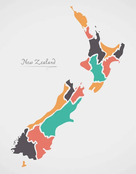
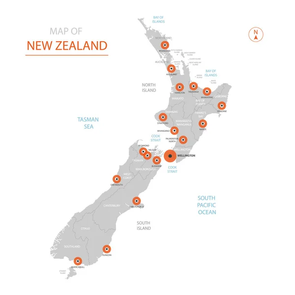
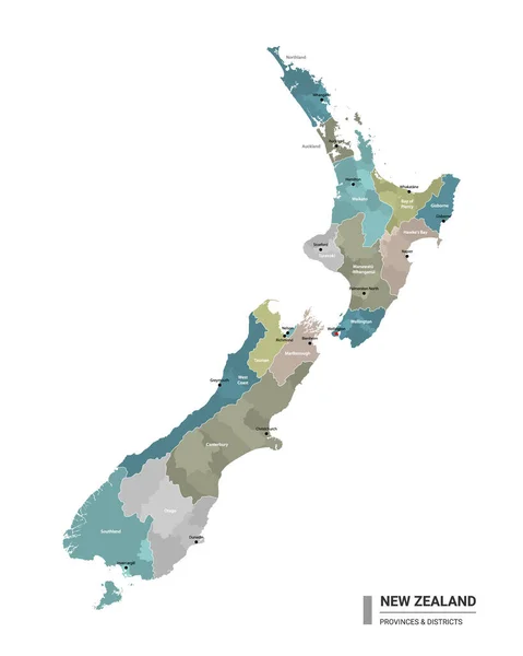
Stock vector New Zealand higt detailed map with subdivisions. Administrative map of New Zealand with districts and cities name, colored by states and administrative districts. Vector illustration.
Published:
Dec.23, 2020 20:05:33
Author:
molokowall
Views:
6
Downloads:
0
File type:
vector
/
eps
File size:
2.01 MB
Orginal size:
4000
x
5000
px
Available sizes:
S
(400 x 500)
M
(800 x 1000)
L
(1600 x 2000)
XL
(4000 x 5000)
VECT
(4000 x 5000)
EL0
(4000 x 5000)
Level:
bronze
Download Vector
Vector topics:
Color
Vector
Travel
Border
City
Template
Capital
Country
District
Map
Cartography
Geography
State
Layer
Separate
Location
Administrative
Destination
Region
Editable
Subdivision
Northland
Hamilton
Wellington
Canterbury
Nelson
Auckland
Christchurch
Southland
Richmond
Marlborough
Tasman
Blenheim
Waikato
Otago
Dunedin
Greymouth
Stratford
Whangarei
Napier
Taranaki
New Zealand
West Coast
Invercargill
Bay Of Plenty
Gisborne
Palmerston North
Manawatu Whanganui
Similar stock vectors
Stylized Vector New Zealand Map. Infographic 3d Gold Map Illustration With Cities, Borders, Capital, Administrative Divisions And Pointer Marks, Shadow; Gradient Background.
3000 × 3000
New Zealand World Map Country Icon
4519 × 4520
New Zealand Map. Cities Regions Vector Illustration
5001 × 7385
New Zealand Map With States And Modern Round Shapes
5000 × 6377
Stylized Vector New Zealand Map Showing Big Cities, Capital Wellington, Administrative Divisions.
3000 × 3000
Infographics Of New Zealand Map, Individual Regions Vector
5227 × 3600
New Zealand Map, Administrative Division, White Blue Card Paper 3D Blank
4087 × 4000