Home
Images
Vectors
Videos
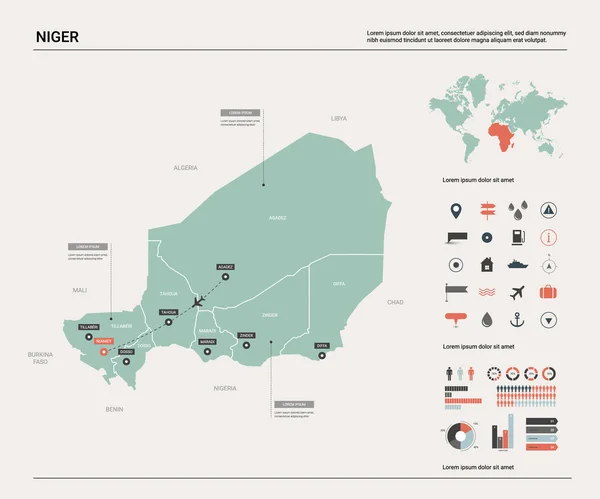
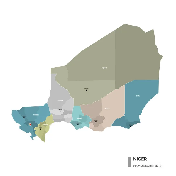
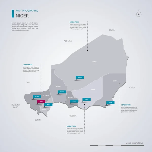
Stock vector Niger vector map with infographic elements, pointer marks. Editable template with regions, cities and capital Niamey.
Published:
Feb.26, 2019 13:35:18
Author:
molokowall
Views:
11
Downloads:
1
File type:
vector
/
eps
File size:
1.85 MB
Orginal size:
4000
x
4000
px
Available sizes:
S
(500 x 500)
M
(1000 x 1000)
L
(2000 x 2000)
XL
(4000 x 4000)
VECT
(4000 x 4000)
EL0
(4000 x 4000)
Level:
bronze
Download Vector
Vector topics:
Red
White
Blue
Vector
Background
Isolated
Travel
Border
Symbol
City
Contour
Information
Pin
Education
World
Template
Town
Globe
Identity
Point
Outline
Country
District
Map
Cartography
Geography
Continent
Land
Ground
State
Topography
Location
Political
Politics
Geographic
Region
Editable
Territory
Atlas
Nation
Subdivision
Mapping
Niger
Infographic
Travel Map
Vector Map
Niger Map
Similar stock vectors
Vector Map Of Niger.
4800 × 4000
Niger Map With Borders, Cities, Capital And Administrative Divisions. Infographic Vector Map. Editable Layers Clearly Labeled.
3000 × 3000
Democratic Republic Of The Congo Vector Map With Infographic Elements, Pointer Marks. Editable Template With Regions, Cities And Capital Kinshasa.
4000 × 4000
Vector Set Of Niger Country.
5400 × 3000
Niger Map With Location Pointer Marks. Infographic Vector Template, Isolated On White Background.
4000 × 4000
Djibouti Vector Map With Infographic Elements, Pointer Marks. Editable Template With Regions, Cities And Capital.
4000 × 4000
Niger Higt Detailed Map With Subdivisions. Administrative Map Of Niger With Districts And Cities Name, Colored By States And Administrative Districts. Vector Illustration With Editable And Labelled Layers.
4000 × 4000
Sierra Leone Vector Map With Infographic Elements, Pointer Marks
4000 × 4000