Home
Images
Vectors
Videos
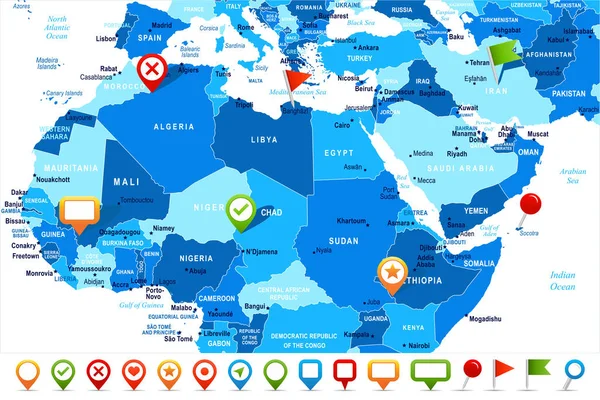
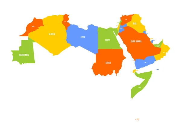
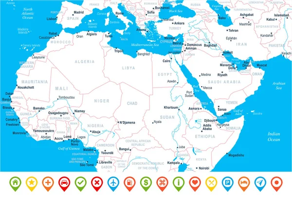
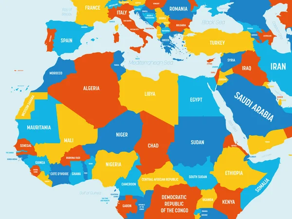
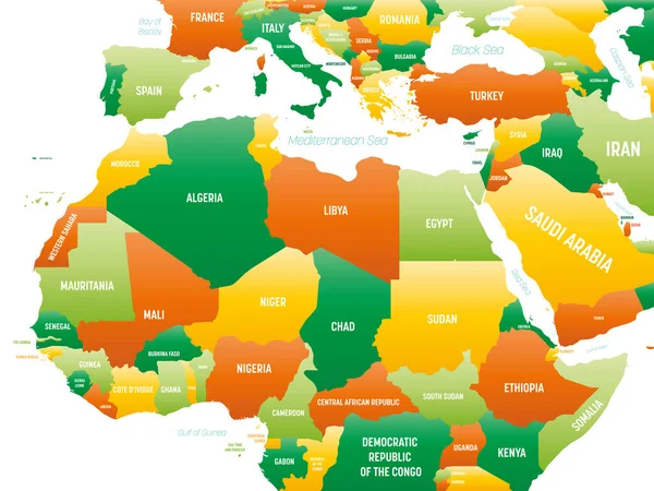
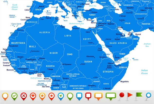
Stock vector North Africa Map - Vector Illustration
Published:
Oct.13, 2017 12:12:28
Author:
dikobrazik
Views:
69
Downloads:
0
File type:
vector
/
eps
File size:
2.88 MB
Orginal size:
8700
x
5903
px
Available sizes:
S
(500 x 339)
M
(1000 x 679)
L
(2000 x 1357)
XL
(8700 x 5903)
VECT
(8700 x 5903)
EL0
(8700 x 5903)
Level:
silver
Download Vector
Vector topics:
Blue
Vector
Illustration
Label
City
Italy
France
Detailed
Navigation
Country
Map
Geography
Africa
Algeria
Egypt
Land
Turkey
Topography
Political
Marker
Jordan
Ghana
Yemen
Syria
Morocco
GUINEA
Libya
Senegal
Oman
SOMALI
Afghanistan
Pakistan
Nigeria
Niger
Regions
Chad
Benin
Ethiopia
Cameroon
Mali
Mauritania
Sudan
Uganda
Computer Icon
Saudi Arabia
Capital Cities
North Africa
Navigational Equipment
Geographical Locations
Western Sahara
Similar stock vectors
Africa - Map And Navigation Icons - Illustration.
5400 × 7041
North Africa Map - Vector Illustration
8242 × 5500
Arab World States. Political Map Of 22 Arabic-speaking Countries Of The Arab League. Northern Africa And Middle East Region. Vector Illustration
6000 × 4500
North Africa Map - Vector Illustration
8143 × 5500
North Africa Map - Vector Illustration
8700 × 5888
Northern Africa Map - 4 Bright Color Scheme. High Detailed Political Map Of Northern African Rgion With Country, Ocean And Sea Names Labeling
6000 × 4500
Detailed Political Map Of Northern Africa And The Middle East An
8192 × 5564
Northern Africa - High Detailed Political Map Of Northern African Rgion With Country, Ocean And Sea Names Labeling.
8000 × 6000